
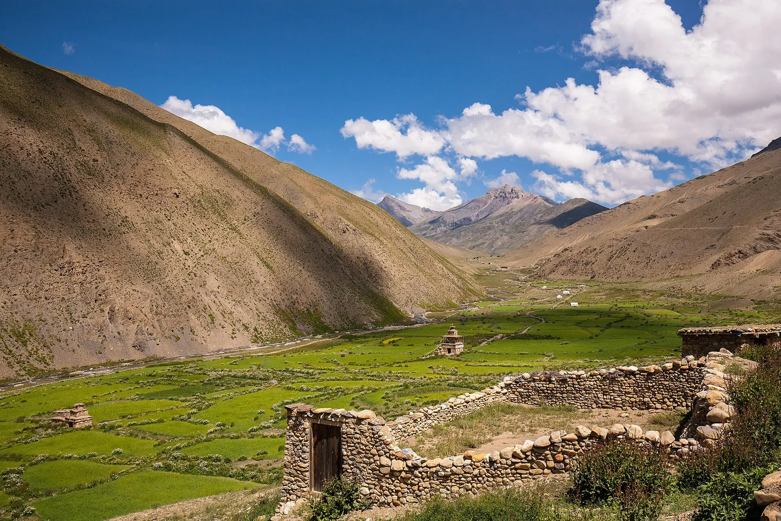
A remote camping traverse from Juphal up the Tarap valley to Dho Tarap, east over high passes to Chharka Bhot, and over the Sangda La into Mustang to finish at Jomsom.
- Days
- 16 days
- Maximum altitude
- 5,550 m
- Difficulty
- Challenging
Dolpoछार्का
A fortified-looking stone village in eastern Dolpo, a key stop on traverses between Dolpo and Mustang.
Higher seasonal exposure: other (Jun-Sep), altitude (All year), snow (Nov-Apr), cold (Nov-Mar), other (Jun-Sep).
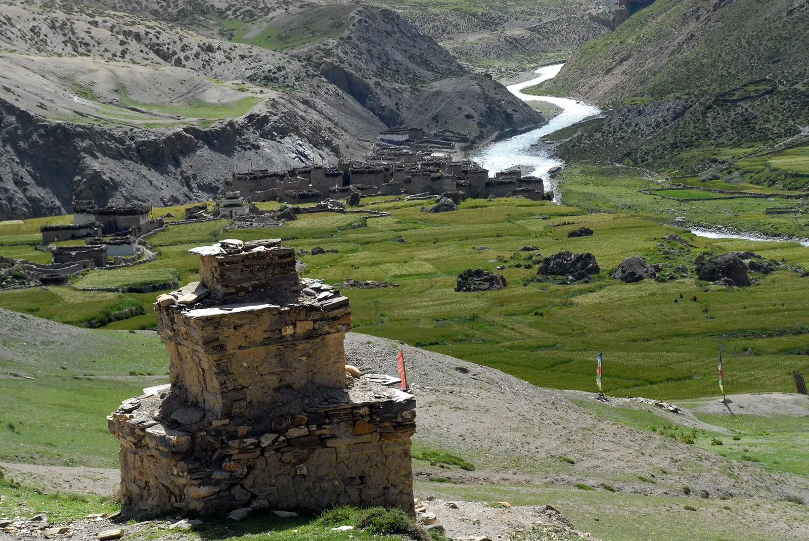
Chharka, often called Chharka Bhot, is a compact stone village at about 4,300 m in the Tsharka valley of eastern Dolpo, the heart of Chharka Tangsong Rural Municipality. Its closely packed houses, chortens and fields sit on a shelf above the river, surrounded by bare cliffs and high pasture.
Trekkers reach Chharka on the long traverses between Dolpo and Mustang: from Dho Tarap over passes above 5,000 m, or from Mustang via Sangda and the Sangda La. Most groups take a rest day here, both to acclimatise and to prepare for the remote stretch towards Sangda and Jomsom, which crosses passes up to about 5,500 m with no villages for several days.
Chharka is one of the four historic valleys of Dolpo, its name usually translated as good growing place, and its fields lie close to the upper limit of farming in Nepal. Its people follow Tibetan Buddhism and Bon, and trade with Mustang and Tibet has long shaped village life. In the 2001 census almost all residents identified as Buddhist.
Explore the village
Walk the narrow lanes and visit the local gompas with your guide, asking before entering or photographing.
Rest before the passes to Mustang
Use a rest day to acclimatise and check weather before the multi-day crossing towards Sangda.
Forecast for 4,320 m. Conditions change fast in the mountains.
Weather data: MET Norway, licensed CC BY 4.0. A forecast, not a guarantee.
May-Oct
Groups usually camp; a few homes and a basic camping lodge may take guests.
No partner stays are listed here yet. List a property.
Reached only on foot, about five days from Jomsom via Sangda, or three to four days from Dho Tarap.
Nearest hub: Jomsom
Nearest hub: Jomsom. Times are typical ranges, not schedules, and vary with roadworks, weather and the season.
By airfrom Pokharaabout 0.3-0.6 hJomsomoften delayed or cancelled by weather
One approach is to fly Pokhara to Jomsom in about 20 minutes and walk in over the Sangda La; the other is the Nepalgunj-Juphal flight and the Dolpo trails. Both strips are weather-dependent and morning-only.
When to set off: Flights are scheduled in the early morning, when wind speeds in the gorge are lowest; keep a spare day in the plan.
On footfrom Dho TarapAbout three days from Dho Tarap over high passes such as the Chan La, Jhyarkoi La or Mo La; or four to five days from Jomsom or Kagbeni via Phalyak, Sangda and the Sangda La.
Chharka sits at about 4,320 m and is reached only on foot. Every approach crosses passes above 5,000 m, so the practical window is short.
Restricted-area permit
Chharka Tangsong Rural Municipality is listed under the Upper Dolpa restricted-area permit: arrange it through a registered agency. The Mustang side of the route is in the Annapurna Conservation Area. Restricted-area permits are issued only through a government-registered trekking agency, for trekkers with a licensed guide; a minimum group of two has long been required, and changes have been reported, so confirm the current rule.
Verify before travel: permit rules and fees change. Checked 2026-10-06 against Department of Immigration, Nepal: Trekking Route and Permit Fee.
On the Dho Tarap to Jomsom traverse, Dolpo to Mustang treks.
What this place is typically exposed to, and when. These are seasonal patterns, not a report on conditions now.
Otherhigh in a typical yearJun-Sep
Access, not rain, is the monsoon problem: cloud on the Nepalgunj-Juphal leg frequently delays or cancels the flight into Dolpa, and spare days at either end are normal.
Altitudehigh in a typical yearAll year
Chharka sits at about 4,320 m, well above the roughly 2,500 m at which altitude sickness becomes common, and most itineraries go higher still. General information, not medical advice: gain height slowly (a common guideline is no more than about 300 m a day in sleeping altitude once high), learn the symptoms, descend if they get worse, see a doctor before travelling, and carry insurance that covers helicopter evacuation.
Snowhigh in a typical yearNov-Apr
The Upper Dolpo routes cross passes above 5,000 m; these hold snow from late autumn into spring, and in deep winter they are not normally crossed.
Coldhigh in a typical yearNov-Mar
Winter at 3,800-4,200 m in Dolpo is severe and many families move with their animals to lower ground, so shelter and food along the route thin out.
Otherhigh in a typical yearJun-Sep
Walkers coming from the Mustang side depend on the Pokhara-Jomsom flight or the Beni gorge road, both of which are frequently disrupted in the monsoon even though Chharka itself is dry.
Landslideslow in a typical yearJun-Sep
Dolpo is a trans-Himalayan rain-shadow region with under 500 mm of precipitation a year, so monsoon rain and landslide exposure in the upper valleys is low; the lower Suli Gad and Bheri trails are wetter.
Check current conditions before you travel
Roads, trails, passes and flights change with the weather and with roadworks, and nothing on this page describes conditions today. Before you set off, check the Department of Hydrology and Meteorology for weather and flood warnings, the Nepal Disaster Risk Reduction Portal for incidents, and the local authority, police or your licensed operator for road, trail and flight status.
A remote camping traverse from Juphal up the Tarap valley to Dho Tarap, east over high passes to Chharka Bhot, and over the Sangda La into Mustang to finish at Jomsom.
In eastern Dolpo, Dolpa district, between the Tarap valley and the Mustang border.
About 4,300 m.
The Upper Dolpa restricted-area permit through a registered agency, plus an ACAP permit if you continue into Mustang.
Lake · 3,612 m
A deep turquoise alpine lake in Dolpo, dammed by an ancient landslide, with the Bon village of Ringmo on its shore.
Temple, monastery or heritage site · 4,340 m
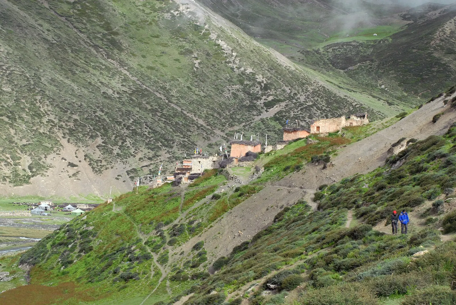
A remote monastery in Upper Dolpo below Crystal Mountain, reached over the Kang La from Phoksundo Lake.
Trek stop · 4,080 m
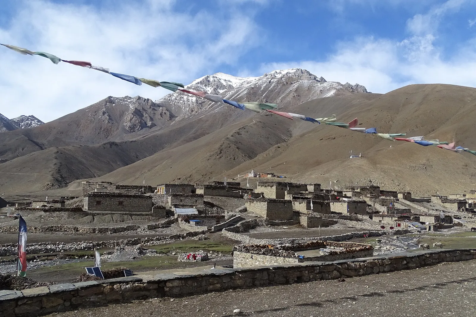
A high farming village in the Tarap valley of Dolpo, a crossroads of treks between Phoksundo, Upper Dolpo and Mustang.
Trek stop · 2,090 m
The district headquarters of Dolpa on the Thuli Bheri river, the first night for most treks into Dolpo.
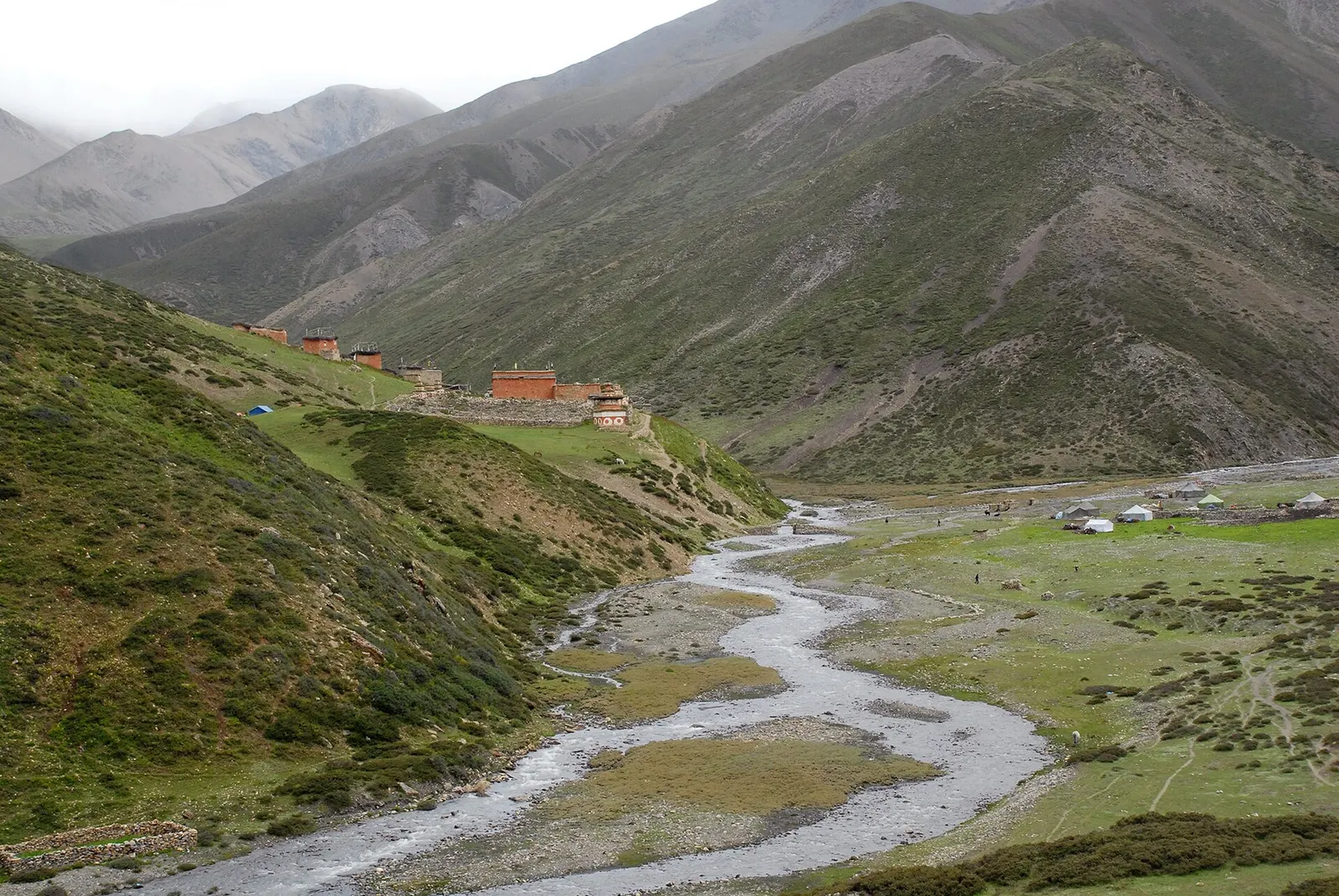
Trek stop · 3,620 m
The largest village of Upper Dolpo, scattered high above the Nankhang valley on the old salt-trade route to Tibet.
Valley or region
A remote trans-Himalayan region of Bon and Buddhist villages, high passes and turquoise Phoksundo Lake, behind the Dhaulagiri and Kanjiroba ranges.
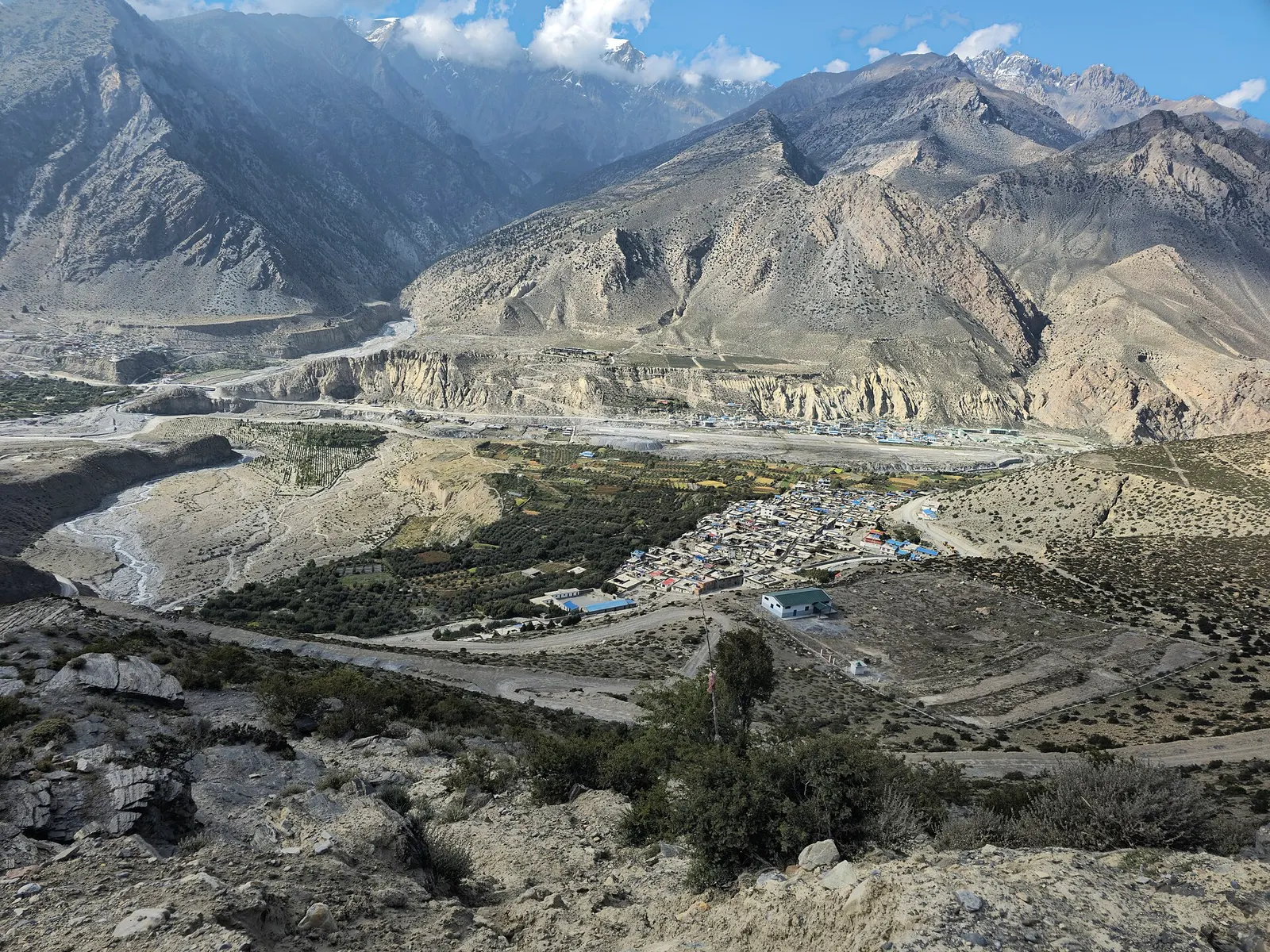
Town or village · 2,743 m
Mustang's headquarters and airstrip town on the Kali Gandaki, under the walls of Nilgiri and Dhaulagiri.
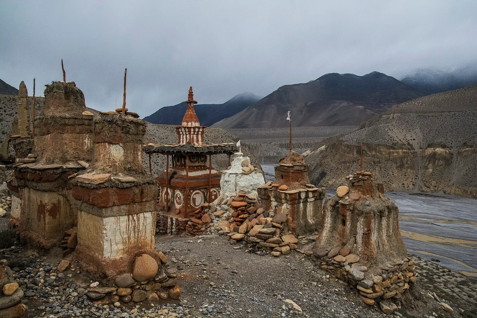
Valley or region
The old Kingdom of Lo: a dry, wind-carved valley of cave cliffs, red monasteries and walled villages north of Kagbeni.