

Trek stop · 1,200 m
Tatopani (Myagdi)
A warm, low-lying village beside the Kali Gandaki, known for the hot springs by the river and as the junction for the climb to Ghorepani.
Pokhara & Annapurnaढोरपाटन शिकार आरक्ष
Nepal's only hunting reserve, a remote high country of alpine meadows, fir forest and blue sheep below the Dhaulagiri and Putha Himal ranges.
Higher seasonal exposure: landslides (Jun-Sep), road blockages (Jun-Sep), snow (Dec-Mar), cold (Dec-Feb).
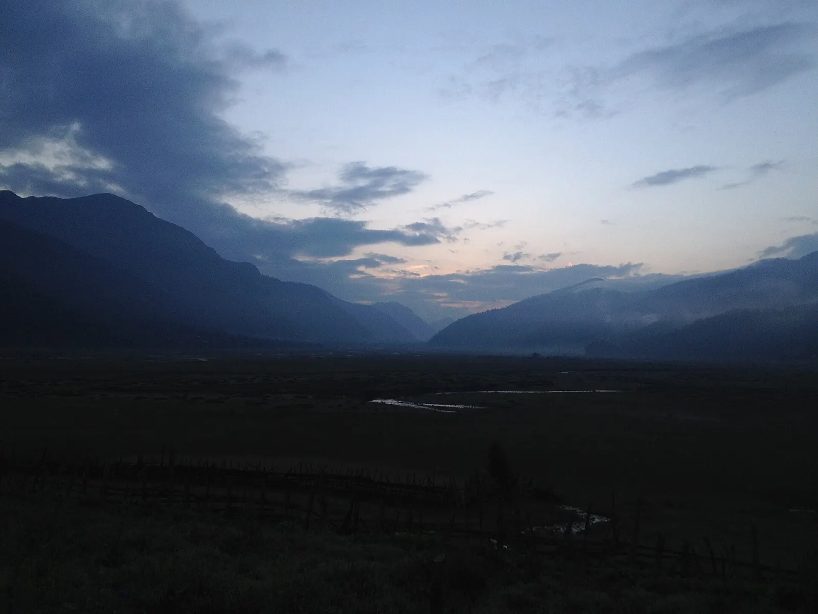
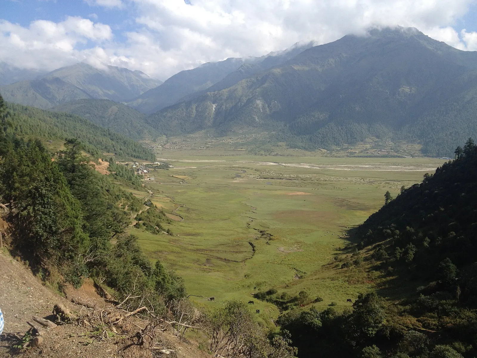
Dhorpatan Hunting Reserve covers about 1,325 square kilometres of high, little-visited country in western Nepal, spread across Baglung, Myagdi and Rukum East districts. It lies on the western flank of the Dhaulagiri Himal, bounded to the north by Putha Himal, Churen Himal and Gurja Himal, and ranges from about 2,850 m to 5,500 m. It is the only protected area in Nepal where regulated sport hunting is allowed, but for most travellers its appeal is the empty landscape: broad grassy valleys, fir and birch forest and wide alpine pastures known locally as patans.
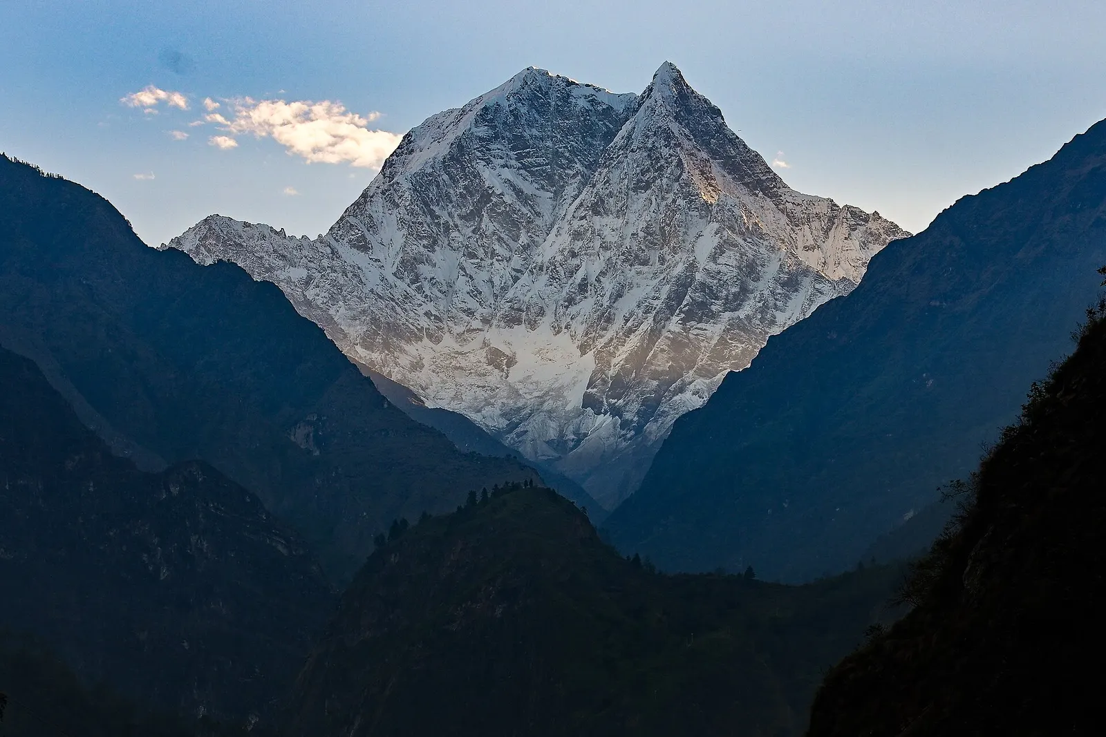
The heart of the reserve is the Dhorpatan valley, a wide, flat meadow where the reserve headquarters, a Tibetan settlement and Magar villages sit amid grazing land. From the surrounding ridges there are views east to Dhaulagiri and, on clear days, the Annapurnas. The reserve is good for long hikes between patans, birdwatching and spotting blue sheep, and for a sense of rural western Nepal far from established trekking routes. It is listed as an Important Bird Area.
Facilities are minimal. Visitors need to be self-sufficient or travel with a local guide and porters, and the approach by road is long and rough. In return, Dhorpatan offers solitude that the Annapurna and Everest regions rarely can.
The reserve was established in 1983 and formally gazetted in 1987, with a dual purpose of allowing controlled trophy hunting of blue sheep and Himalayan tahr while conserving a representative high-altitude ecosystem. Hunting permits are issued by the Department of National Parks and Wildlife Conservation on a quota basis, mainly in spring and autumn. Researchers have questioned the long-term sustainability of the hunting programme after counts showed blue sheep numbers roughly halving between 1979 and 2021.
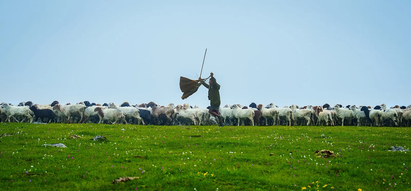
In the early 1960s Dhorpatan was one of the sites where Tibetan refugees were resettled after the 1959 uprising in Tibet, and a small Tibetan community and monastery remain in the valley alongside the Kham Magar people, whose shamanic traditions and herding culture are distinctive. During Nepal's civil war (1996-2006), Maoist forces controlled the reserve area, which lies close to Rolpa and Rukum, where the insurgency began. Herders still move flocks of sheep and goats up to the high pastures each summer.
Hike the patans
Walk between alpine meadows around the Dhorpatan valley on day hikes of 4-7 hours with a local guide.
Wildlife and birdwatching
Look for blue sheep on open slopes in the early morning and for pheasants in the forest edges.
Visit the Tibetan settlement
See the small gompa and community founded by refugees in the 1960s; ask before photographing.
Long-distance trekking
Dhorpatan lies on remote routes linking Baglung, Myagdi and Rukum, including sections of the trail sometimes promoted as the Guerrilla Trek; these require full camping support.
Forecast for 2,850 m. Conditions change fast in the mountains.
Weather data: MET Norway, licensed CC BY 4.0. A forecast, not a guarantee.
Apr-May, Oct-Nov
A few simple guesthouses and homestays in the Dhorpatan valley; elsewhere in the reserve you need to camp.
No partner stays are listed here yet. List a property.
The usual approach is by road from Pokhara via Baglung and Burtibang, followed by a rough jeep track or trek into the valley. Allow two days from Pokhara.
Nearest hub: Pokhara
Nearest hub: Pokhara. Times are typical ranges, not schedules, and vary with roadworks, weather and the season.
By busfrom PokharaLocal buses
Local buses and jeeps run Pokhara to Baglung and on to Burtibang; the last stretch to Dhorpatan is a seasonal jeep service rather than a bus, so a through band would be misleading.
When to set off: buses west from Pokhara leave early in the morning, so plan a night in Baglung or Burtibang
By car or jeepfrom Pokharaabout 11-15 h
Roughly 3-4 h Pokhara to Baglung, then 6-7 h on to Burtibang, then a 32 km gravel and earthen track of about 2-3 h into the valley. Dhorpatan can also be reached by jeep from Beni up the Myagdi Khola.
Road: Sealed to Baglung, then a rough hill road to Burtibang and a gravel-and-earth jeep track for the last roughly 32 km; a 4WD is needed and the final section is strongly monsoon-affected.
When to set off: leave Pokhara at first light and plan to break the journey overnight in Baglung or Burtibang
By motorbikefrom PokharaExperienced riders only
The Burtibang-Dhorpatan track is loose, steep and remote with little fuel or help on the way, so it suits experienced off-road riders only. No time band sourced.
Road: Sealed to Baglung, then rough hill road and a 32 km gravel and earthen track with stream crossings.
On footfrom Burtibang1-2 days on foot from Burtibang into the Dhorpatan valley
Many visitors still walk the last part in, which also avoids depending on the seasonal jeep track. Longer trekking approaches come in from Myagdi over several days with camping or homestay support.
Permit required
An entry permit for the reserve is required and is issued by the Department of National Parks and Wildlife Conservation or at the reserve office. Hunting requires separate permits arranged through licensed outfitters.
Verify before travel: permit rules and fees change. Checked 2026-10-06 against Department of National Parks and Wildlife Conservation.
What this place is typically exposed to, and when. These are seasonal patterns, not a report on conditions now.
Landslideshigh in a typical yearJun-Sep
The hill road to Burtibang and the earthen jeep track beyond it are prone to monsoon slips, and the last 32 km in particular can be made unusable for vehicles by rain damage.
Road blockageshigh in a typical yearJun-Sep
Monsoon rain and landslides regularly interrupt the Baglung-Burtibang-Dhorpatan jeep route, and services on the final track are seasonal in any case.
Snowhigh in a typical yearDec-Mar
Winter locks the higher parts of the reserve under thick snow, and access roads and high trails are often snowbound from December to March.
Coldhigh in a typical yearDec-Feb
The valley lies above 2,850 m and winter nights are severely cold, with limited shelter.
Altitudemoderate in a typical yearAll year
At roughly the valley around 2,850-3,900 m, the reserve to 5,500 m, thin air affects most people. General information, not medical advice: gain height slowly, build in acclimatisation days, learn the symptoms of altitude sickness (headache, nausea, breathlessness, broken sleep) and go down if they get worse. See a doctor before travelling and carry insurance that covers helicopter evacuation.
Floodingmoderate in a typical yearJul-Aug
The Uttar Ganga and its feeder streams rise sharply in the heaviest monsoon weeks, and fords on the approach trails can become difficult.
Check current conditions before you travel
Roads, trails, passes and flights change with the weather and with roadworks, and nothing on this page describes conditions today. Before you set off, check the Department of Hydrology and Meteorology for weather and flood warnings, the Nepal Disaster Risk Reduction Portal for incidents, and the local authority, police or your licensed operator for road, trail and flight status.
Drive to Baglung (2.5-3.5 hours), then take a jeep via Burtibang on rough roads (roughly 8-12 hours), usually over two days.
Yes, it is the only reserve in Nepal where regulated trophy hunting is allowed, limited to blue sheep and Himalayan tahr under a DNPWC quota.
Yes, a reserve entry permit is required; check the current rules with DNPWC or the reserve office.
October-November and April-May; winter brings snow and the monsoon makes roads difficult.
Trek stop · 1,200 m
A warm, low-lying village beside the Kali Gandaki, known for the hot springs by the river and as the junction for the climb to Ghorepani.
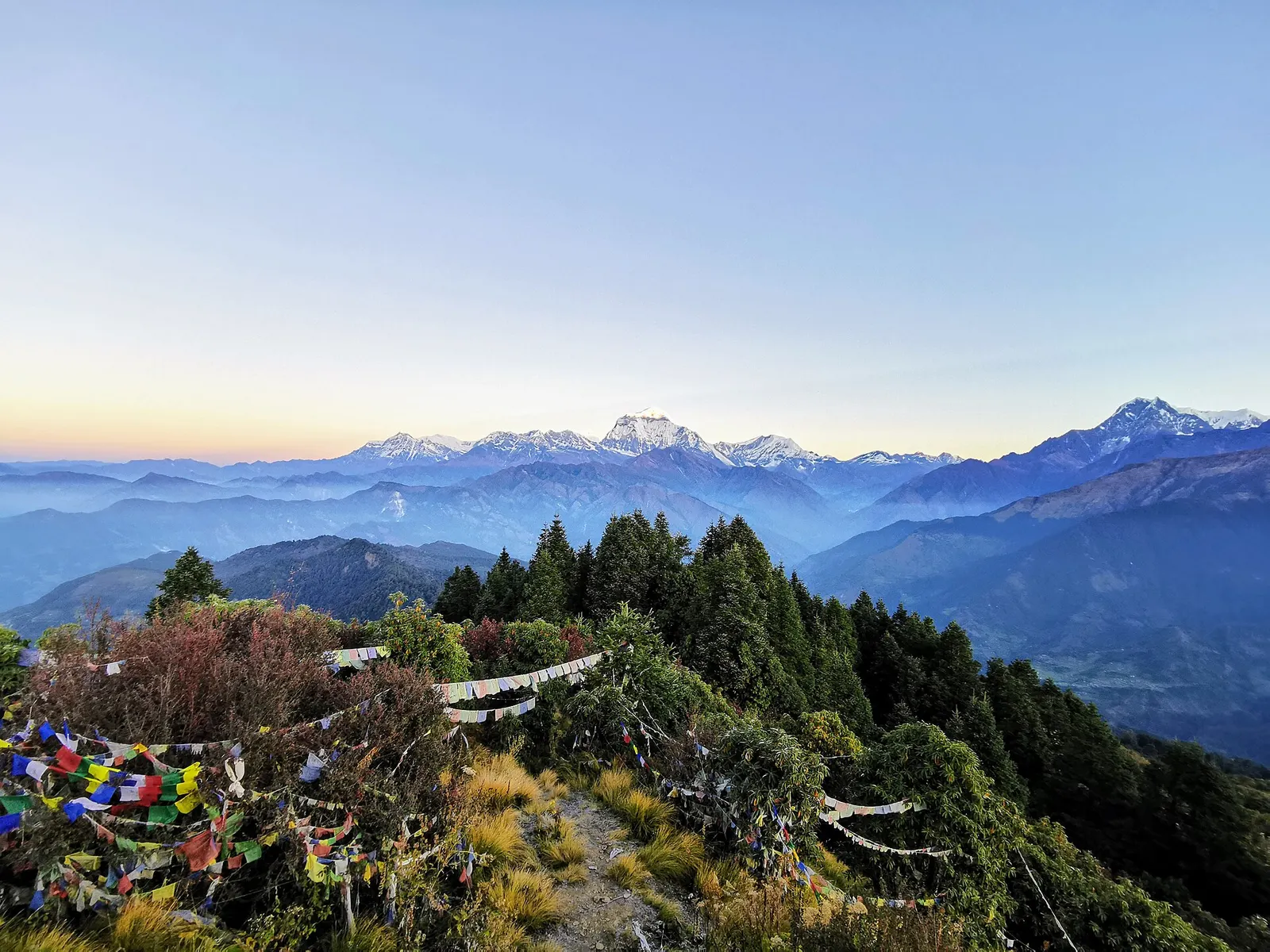
Trek stop · 2,874 m
A ridge-top trekking village in rhododendron forest, and the base for the dawn climb to Poon Hill's view of Dhaulagiri and the Annapurnas.
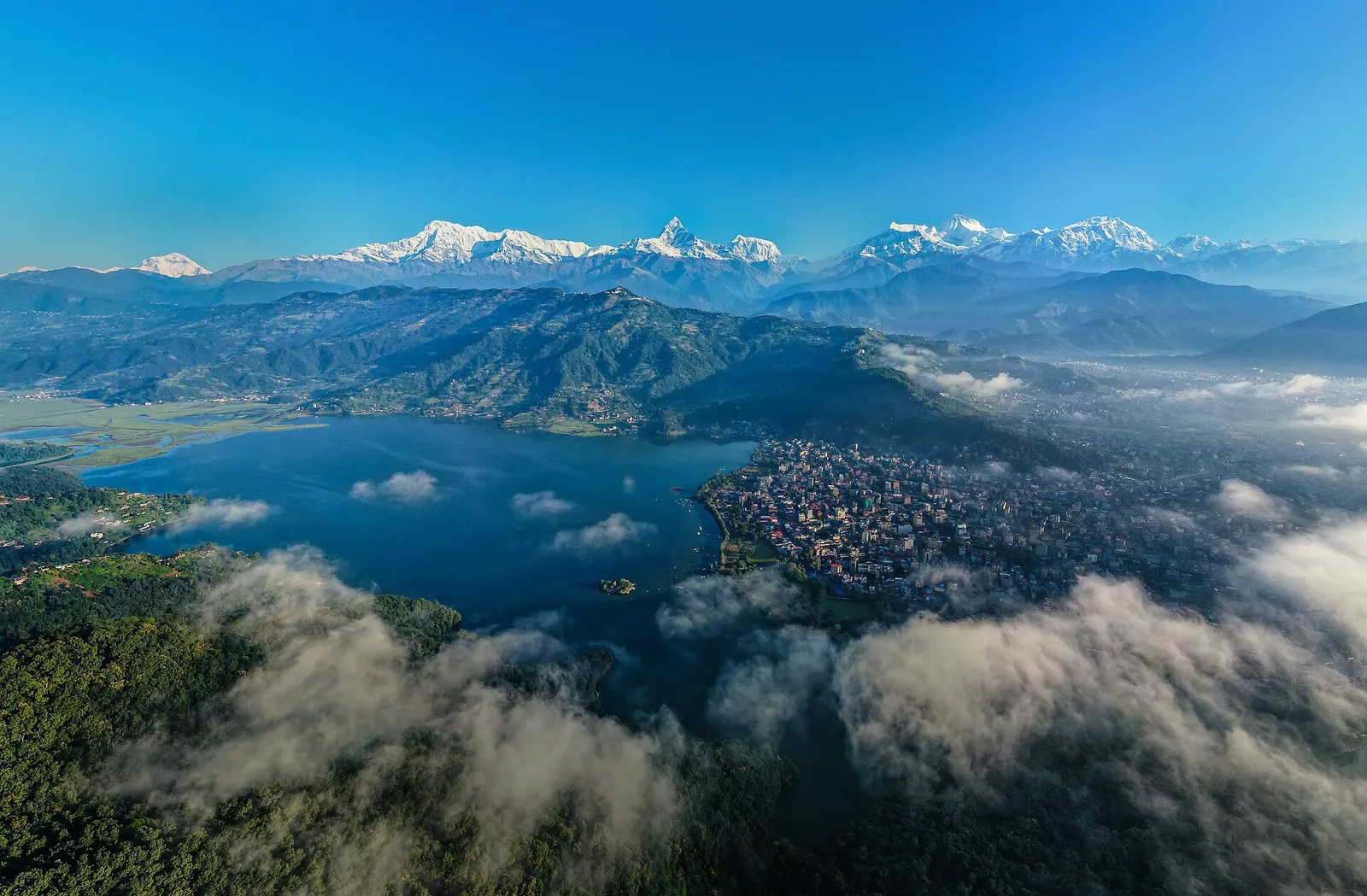
Town or village · 822 m
A lakeside city about 200 km west of Kathmandu, with the Annapurna range and Machhapuchhre rising close to the north.
Valley or region
A remote trans-Himalayan region of Bon and Buddhist villages, high passes and turquoise Phoksundo Lake, behind the Dhaulagiri and Kanjiroba ranges.