Temple, monastery or heritage site
Sindhuli Gadhi
A ridge-top fort site above Sindhuli where Gorkhali forces turned back a British East India Company expedition in 1767.
सिन्धुलीमाढी
The headquarters town of Sindhuli district on the B.P. Highway, known for its oranges and as a stop between Kathmandu and the eastern Terai.
Higher seasonal exposure: landslides (Jun-Sep).
Sindhuli Madhi is the headquarters of Sindhuli district and the centre of Kamalamai Municipality. It lies in a valley in the inner hills between the Mahabharat range and the Siwaliks, on the B.P. Highway that links the Kathmandu Valley with Bardibas on the East-West Highway. The road has made the town a regular stop for buses and private vehicles heading to and from Janakpur and the eastern Terai.
The district is well known across Nepal for its oranges, particularly the sweet junar variety, which is harvested in the cooler months and sold along the highway. In season, roadside stalls and markets in the town are piled with fruit from the surrounding hill villages.
For travellers the town is a practical overnight stop with hotels, restaurants and services, and a base for visiting the historic fort site of Sindhuli Gadhi on the ridge above, as well as the orange-growing villages in the hills.
Sindhuli has long been on the routes between the Kathmandu Valley and the plains, which explains the strategic role of Sindhuli Gadhi in the eighteenth century. The population is mixed, with Magar, Tamang, Newar, Brahmin-Chhetri, Danuwar and other communities, and farming in the valleys and on terraced slopes is the mainstay.
The completion of the B.P. Highway, built with Japanese assistance and named after the former prime minister B.P. Koirala, transformed travel through the district and shortened the journey between Kathmandu and the eastern Terai. The town has grown along the highway since, and its markets serve a wide area of the surrounding hills.
Taste local oranges
Buy junar and other oranges from markets and roadside stalls during the harvest season.
Visit Sindhuli Gadhi
Drive up to the ridge-top fort site to learn about the 1767 battle and enjoy the views.
Break a road journey
Stop overnight between Kathmandu and Janakpur or the eastern Terai.
Conditions change fast in the mountains.
Weather data: MET Norway, licensed CC BY 4.0. A forecast, not a guarantee.
Oct-Mar
A range of hotels and guesthouses along the highway and in the bazaar, used by road travellers.
No partner stays are listed here yet. List a property.
Sindhuli Madhi is on the B.P. Highway, reached by bus or private vehicle from Kathmandu via Dhulikhel, or from Bardibas in the Terai.
Nearest hub: Kathmandu
None needed
No permit is needed to visit Sindhuli Madhi.
Verify before travel: permit rules and fees change. Checked 2026-10-08 against Kamalamai, Wikipedia.
What this place is typically exposed to, and when. These are seasonal patterns, not a report on conditions now.
Landslideshigh in a typical yearJun-Sep
The B.P. Highway through the hills is prone to monsoon landslides and road damage.
Heatlow in a typical yearApr-Jun
The valley is hot before the monsoon.
Check current conditions before you travel
Roads, trails, passes and flights change with the weather and with roadworks, and nothing on this page describes conditions today. Before you set off, check the Department of Hydrology and Meteorology for weather and flood warnings, the Nepal Disaster Risk Reduction Portal for incidents, and the local authority, police or your licensed operator for road, trail and flight status.
Its oranges, especially the junar variety, and the historic fort site of Sindhuli Gadhi.
Take a bus or drive from Kathmandu via Dhulikhel along the B.P. Highway, or north from Bardibas in the Terai.
Oranges are harvested in the cooler months, roughly late autumn into winter; check locally for exact timing.
Sindhuli Madhi is the town at the centre of Kamalamai Municipality, the district headquarters.
Temple, monastery or heritage site
A ridge-top fort site above Sindhuli where Gorkhali forces turned back a British East India Company expedition in 1767.
Town or village
The headquarters town of Ramechhap district, whose airport handles many Lukla flights in the busy trekking seasons.
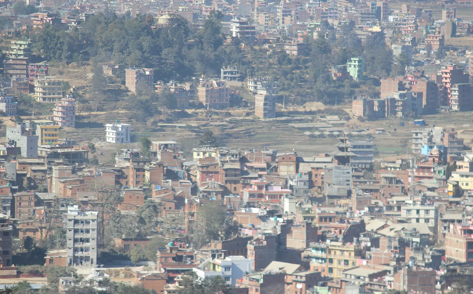
Town or village · 1,550 m
A Newar hill town on the eastern rim of the Kathmandu Valley, with a wide Himalayan skyline and walking trails to Namo Buddha and Panauti.
Temple, monastery or heritage site · 74 m
The capital of Madhesh Province and a centre of Mithila culture, built around the white marble Janaki Mandir and dozens of sacred ponds.