Trek stop · 2,860 m
Lukla
The airstrip town where most Everest region treks begin and end, on a shelf above the Dudh Kosi.
मन्थली
The headquarters town of Ramechhap district, whose airport handles many Lukla flights in the busy trekking seasons.
Higher seasonal exposure: landslides (Jun-Sep).
Manthali is the headquarters of Ramechhap district, a low-lying bazaar town in the warm valley of the Tamakoshi river south-east of Kathmandu. Until recently it was rarely visited by foreigners, but Ramechhap Airport at Manthali now serves as the departure point for many flights to Lukla, the gateway to the Everest region, during the spring and autumn trekking seasons.
Because flights to Lukla leave early in the morning, trekkers usually drive from Kathmandu in the small hours or arrive the evening before and stay overnight in Manthali. The town has grown a cluster of hotels and guesthouses around the airport to serve this traffic, along with shops and transport counters.
Beyond the airport, Manthali is a working district centre surrounded by terraced hills and river valleys. It offers a glimpse of everyday life in the middle hills of eastern Bagmati, and is a starting point for roads into the rest of Ramechhap, including the approach to the Sailung hills to the north-west.
Ramechhap district lies between the Sunkoshi and Tamakoshi river systems and the high ridges towards Dolakha and Solukhumbu. Its population includes Tamang, Newar, Magar, Sherpa, Brahmin-Chhetri and other communities, with agriculture the main livelihood. Manthali developed as the administrative centre of the district.
The town's link with Everest trekking is recent. To ease congestion at Kathmandu's airport in peak seasons, the aviation authorities moved many Lukla flights to Ramechhap Airport, a change first introduced at the end of the 2010s. This brought a seasonal flow of trekkers and climbers through Manthali, changing the economy of the town around the airfield.
Fly to Lukla
Catch an early morning flight from Ramechhap Airport to Lukla to start an Everest region trek.
Walk the bazaar
Spend an evening walking through the town and along the river before an early flight.
Head to Sailung
Use Manthali as a base for road trips towards the Sailung hills and other parts of Ramechhap.
Conditions change fast in the mountains.
Weather data: MET Norway, licensed CC BY 4.0. A forecast, not a guarantee.
Mar-May, Oct-Nov
Hotels and guesthouses near the airport cater mainly to trekkers on early flights; book ahead in October and April.
No partner stays are listed here yet. List a property.
Manthali is reached by road from Kathmandu, usually via the B.P. Highway; trekkers typically drive in a day ahead or in the early hours for morning Lukla flights.
Nearest hub: Kathmandu
None needed
No permit is needed for Manthali. Treks beyond Lukla need the Sagarmatha National Park permit and a local area permit.
Verify before travel: permit rules and fees change. Checked 2026-10-08 against Department of National Parks and Wildlife Conservation.
What this place is typically exposed to, and when. These are seasonal patterns, not a report on conditions now.
Landslideshigh in a typical yearJun-Sep
Monsoon landslides can block the roads between Kathmandu and Manthali.
Othermoderate in a typical yearAll year
Lukla flights are often delayed or cancelled by weather at Lukla; build spare days into an Everest itinerary.
Heatlow in a typical yearApr-Jun
The low valley around Manthali is hot before the monsoon.
Check current conditions before you travel
Roads, trails, passes and flights change with the weather and with roadworks, and nothing on this page describes conditions today. Before you set off, check the Department of Hydrology and Meteorology for weather and flood warnings, the Nepal Disaster Risk Reduction Portal for incidents, and the local authority, police or your licensed operator for road, trail and flight status.
In busy seasons, many Lukla flights are operated from Ramechhap Airport at Manthali to reduce congestion at Kathmandu's airport.
Many trekkers do, because flights leave early in the morning and the drive from Kathmandu takes several hours.
No. Permits are needed only for the Everest region beyond Lukla.
They are weather-dependent like all Lukla flights; allow buffer days.
Trek stop · 2,860 m
The airstrip town where most Everest region treks begin and end, on a shelf above the Dudh Kosi.
Viewpoint · 3,146 m
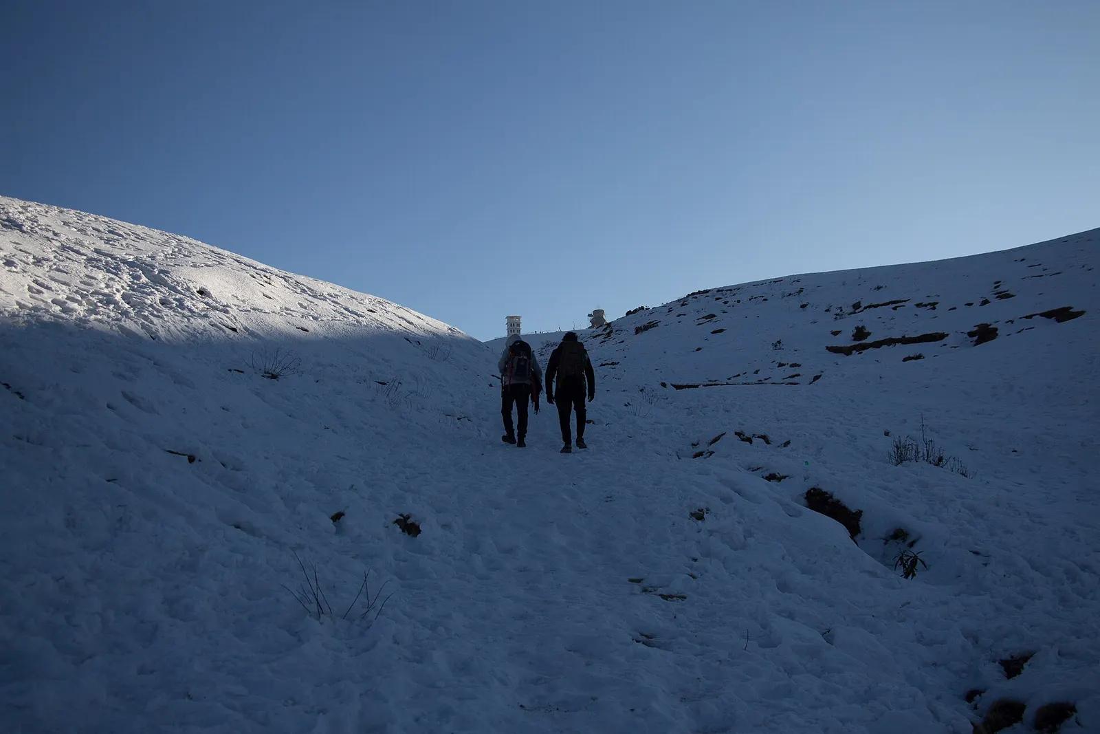
A high ridge of grassy domes on the Dolakha-Ramechhap border, with a wide Himalayan view and a hilltop Shiva shrine.
Valley or region
The Sherpa homeland below Everest, reached on foot from Lukla through stone villages, monasteries and glacial valleys.
Town or village · 1,400 m
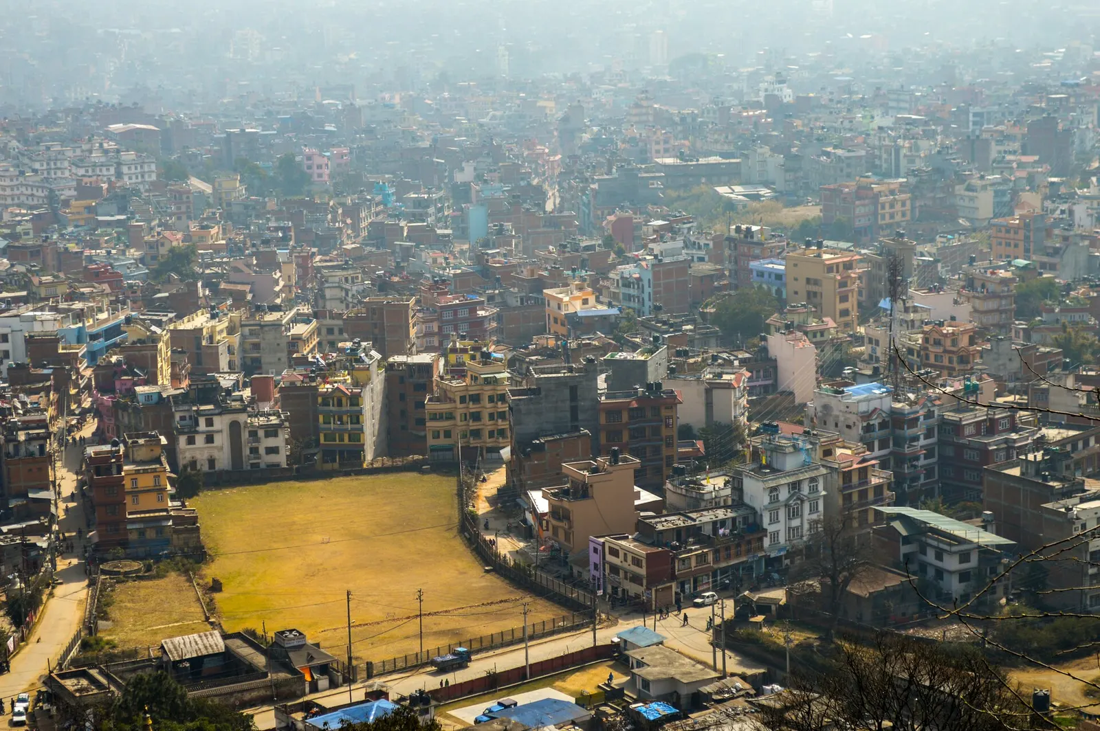
Nepal's capital, a sprawling valley city wrapped around a medieval Newar core, with major Hindu and Buddhist sites and the country's main airport.