Town or village
Sindhuli Madhi
The headquarters town of Sindhuli district on the B.P. Highway, known for its oranges and as a stop between Kathmandu and the eastern Terai.
सिन्धुलीगढी
A ridge-top fort site above Sindhuli where Gorkhali forces turned back a British East India Company expedition in 1767.
Higher seasonal exposure: landslides (Jun-Sep).
Sindhuli Gadhi is a historic fort site on a ridge of the Mahabharat range above Sindhuli Madhi, the headquarters town of Sindhuli district. It guarded one of the old routes between the Kathmandu Valley and the plains, and today lies close to the B.P. Highway, which climbs through the district between Bardibas and Dhulikhel.
The fort is remembered for a single episode: the defeat of a British East India Company force sent into the hills in 1767, an event that holds an important place in Nepali national history. The site has a memorial and remains of fortifications, and the ridge gives wide views over forested hills and the valleys to the south.
It makes a good short stop on a road trip along the B.P. Highway, combined with a night in Sindhuli Madhi or a visit to the orange-growing villages of the district in winter.
In the 1760s Prithvi Narayan Shah of Gorkha was pressing his campaign against the Malla kingdoms of the Kathmandu Valley. Jaya Prakash Malla of Kathmandu appealed to the East India Company for help, and an expedition under Captain George Kinloch marched north from the plains in 1767. At Sindhuli, Gorkhali forces, aided by difficult terrain, monsoon conditions and disease among the expedition's troops, forced the British to withdraw.
The victory allowed the Gorkhali campaign to continue, and Kathmandu fell to Prithvi Narayan Shah in 1768. Sindhuli Gadhi is therefore commemorated as a site of resistance, and local and national events mark its history. Accounts of the details of the battle vary, and the site is valued as much as a symbol as for its surviving structures.
Explore the fort site
Walk around the memorial and the remains of the fortifications, reading the information on the site's history.
Ridge views
Visit in the morning for clear views over the forested hills before haze builds.
Road trip stop
Include the fort on a drive along the B.P. Highway between Kathmandu and the eastern Terai.
Conditions change fast in the mountains.
Weather data: MET Norway, licensed CC BY 4.0. A forecast, not a guarantee.
Oct-Mar
Most visitors stay in hotels and guesthouses in Sindhuli Madhi; facilities at the fort itself are minimal.
No partner stays are listed here yet. List a property.
Sindhuli Gadhi is reached by road from Sindhuli Madhi, on the B.P. Highway between Kathmandu and Bardibas.
Nearest hub: Sindhuli Madhi
None needed
No permit is needed. A small local entry charge may apply at the memorial area.
Verify before travel: permit rules and fees change. Checked 2026-10-08 against Sindhuli District, Wikipedia.
What this place is typically exposed to, and when. These are seasonal patterns, not a report on conditions now.
Landslideshigh in a typical yearJun-Sep
The B.P. Highway through the Sindhuli hills is prone to monsoon landslides and road damage.
Otherlow in a typical yearJun-Sep
Monsoon cloud and mist often cover the ridge, hiding the views.
Check current conditions before you travel
Roads, trails, passes and flights change with the weather and with roadworks, and nothing on this page describes conditions today. Before you set off, check the Department of Hydrology and Meteorology for weather and flood warnings, the Nepal Disaster Risk Reduction Portal for incidents, and the local authority, police or your licensed operator for road, trail and flight status.
It is where Gorkhali forces turned back a British East India Company expedition in 1767, during Prithvi Narayan Shah's campaign for the Kathmandu Valley.
Drive or take a bus along the B.P. Highway to Sindhuli Madhi, then continue a short way up to the fort area.
There is a memorial and some remains of the fortifications; the site is visited mainly for its history and ridge views.
October to March, for dry weather and clear views.
Town or village
The headquarters town of Sindhuli district on the B.P. Highway, known for its oranges and as a stop between Kathmandu and the eastern Terai.
Town or village
The headquarters town of Ramechhap district, whose airport handles many Lukla flights in the busy trekking seasons.
Town or village · 1,550 m
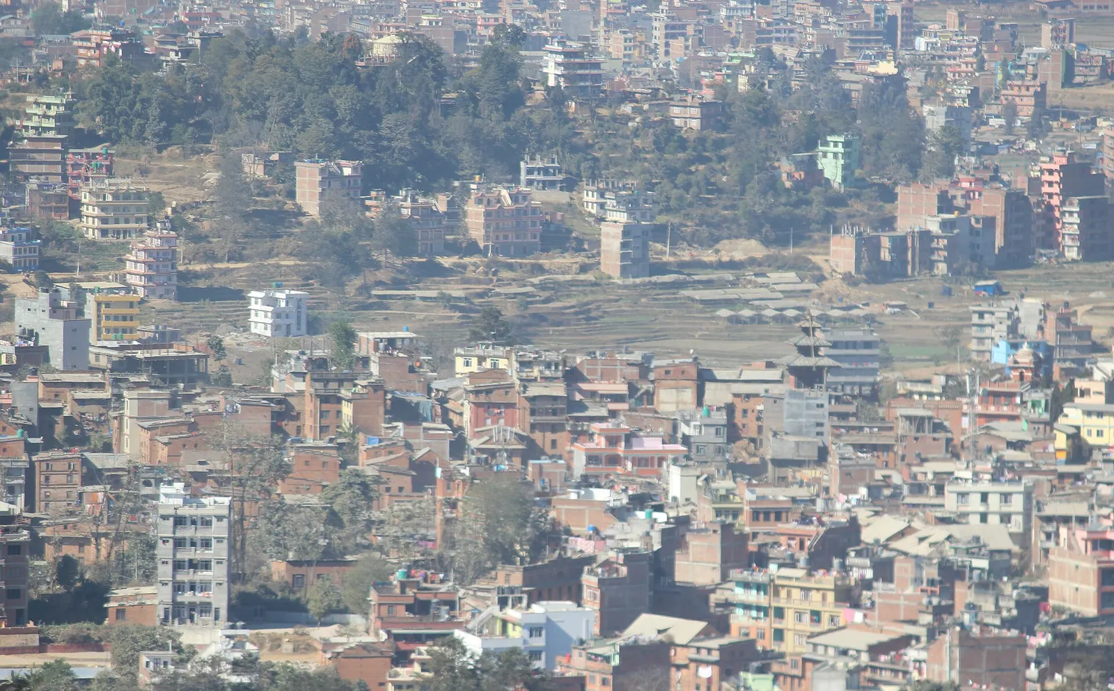
A Newar hill town on the eastern rim of the Kathmandu Valley, with a wide Himalayan skyline and walking trails to Namo Buddha and Panauti.
Temple, monastery or heritage site · 74 m
The capital of Madhesh Province and a centre of Mithila culture, built around the white marble Janaki Mandir and dozens of sacred ponds.