
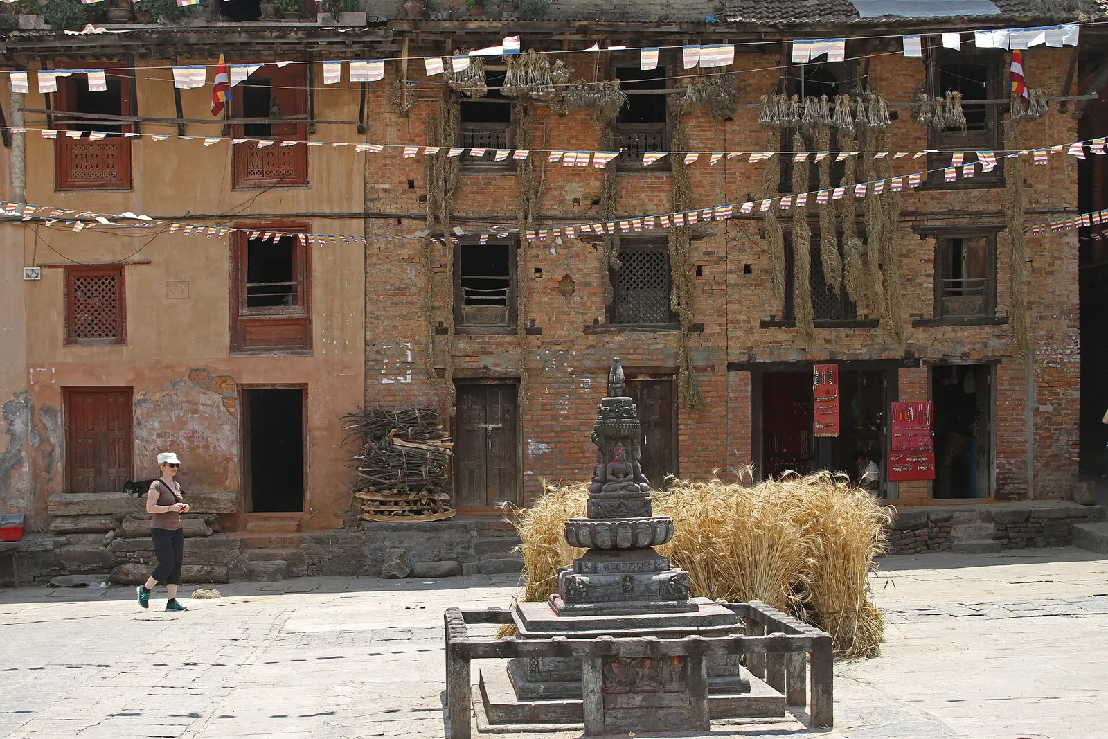
Town or village · 1,360 m
Bungamati
A Newar village on a spur above the Bagmati, home of the rain god Rato Machhindranath and known for its woodcarvers.
Patan (Lalitpur)फुलचोकी
The highest point on the Kathmandu Valley rim, a forested hill above Godawari known for birds, rhododendrons and mountain views.
This is the hill above Godawari, the highest point on the Kathmandu Valley rim; it is not Pulchowk, the neighbourhood of Patan.
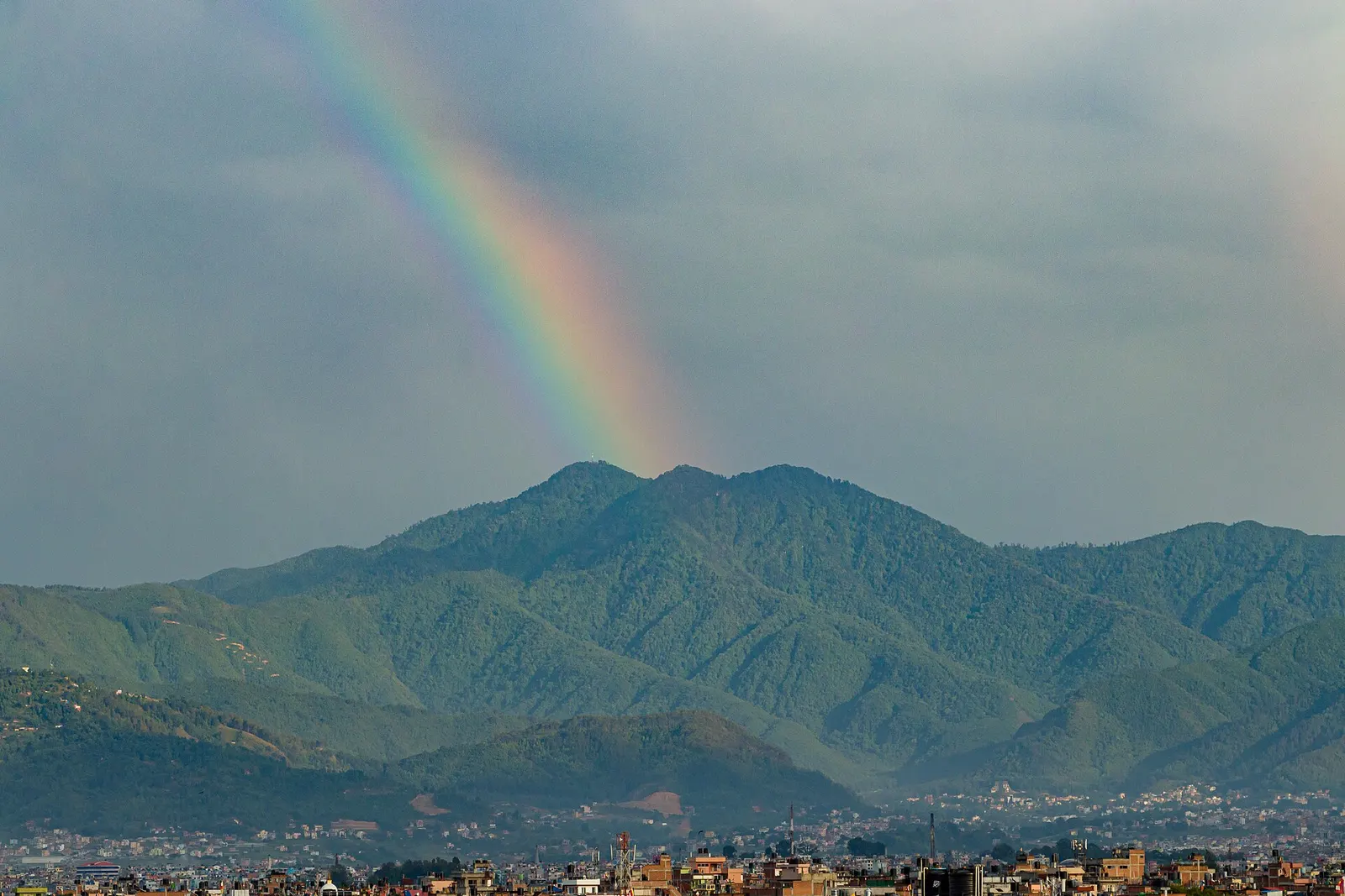
Phulchowki rises to 2,782 m on the southern rim of the Kathmandu Valley, about 15 km south-east of central Kathmandu, directly above Godawari. Its name is usually explained as the hill of flowers, and in spring its upper slopes are bright with rhododendron blossom. The summit is crowned by a small shrine to the goddess Phulchowki Mai and by telecommunication towers, and on clear days it gives views across the valley to a long line of Himalayan peaks, including the Langtang, Ganesh and Jugal ranges.
The hill is covered in some of the best-preserved forest near Kathmandu, from oak and chestnut low down to rhododendron and moss-hung oak near the top. It is a renowned birdwatching site, with many species of laughingthrushes, sunbirds, warblers and other hill birds; serious birders walk the forest road at dawn. Leopards and other mammals also live in the forest, though they are rarely seen.
Most visitors hike up from Godawari as a long day walk, climbing roughly 1,250-1,300 m on forest trails, or follow the rough road that winds to the summit. It sits within the wider Godawari area of Lalitpur district, and makes a good counterpart to Shivapuri on the northern rim.
Phulchowki Mai, the goddess of the mountain, is worshipped at shrines at the foot of the hill near Godawari and at the summit, and the forest is traditionally regarded as her domain. Newar Buddhists also count the Khagayogini of Pulchowk among the Vajrayogini temples of the valley, though that shrine is in Patan rather than on the hill.
The forest is managed as community and government forest, and the hill has been recognised by bird conservation groups as an important site for Himalayan birdlife. Stone quarries on the lower slopes have been a source of local conflict over the years. In winter the summit sometimes receives snow, which draws crowds from Kathmandu.
Hike from Godawari
Climb through forest from Godawari to the summit, roughly 4-6 hours up and 3-4 hours down, with about 1,250-1,300 m of ascent.
Birdwatch along the forest road
Walk the lower and middle sections at dawn, when birds are most active.
Drive or ride to the top
A rough road winds to the summit; it suits 4WD vehicles and motorbikes in dry weather.
See rhododendrons in spring
Visit in March or April when the upper slopes bloom red, pink and white.
Forecast for 2,782 m. Conditions change fast in the mountains.
Weather data: MET Norway, licensed CC BY 4.0. A forecast, not a guarantee.
Mar-Apr, Oct-Dec
No accommodation on the hill; stay in Patan or Kathmandu, or at a resort in Godawari.
No partner stays are listed here yet. List a property.
Phulchowki is reached from Godawari, about 10-14 km south-east of Patan.
Nearest hub: Kathmandu
Nearest hub: Kathmandu. Times are typical ranges, not schedules, and vary with roadworks, weather and the season.
By busfrom Patan (Lalitpur)about 0.75-1 hLocal buses
Buses reach Godawari only; the climb from the road head is walked or driven on the rough summit track.
When to set off: take the first bus of the day: the climb from Godawari is a long outing
By car or jeepfrom Godawariabout 1-2 h
The summit road runs about 15 to 20 km up from Godawari. A jeep or other high-clearance 4WD is normally needed and conditions vary through the year.
Road: Rough, steep and stony forest track; 4WD or jeep normally needed, and washed out in places after heavy rain.
By motorbikefrom Godawariabout 1-2 hExperienced riders only
Steep loose stone and broken concrete with long exposed sections; riders with off-road experience only.
Road: Steep, loose and stony summit track, washed out in places.
On footfrom Godawariabout 4-6 h4-6 h from Godawari, roughly 1,250 m of ascent
The classic climb follows forest trails and the summit road up from the Godawari road head.
When to set off: leave Godawari by 07:00 to be on top before the cloud builds
None needed
No permit is needed for the hike at the time of checking; a local forest or road fee may be collected at the start of the summit road.
Verify before travel: permit rules and fees change. Checked 2026-10-06 against Godawari, Lalitpur, Wikipedia.
What this place is typically exposed to, and when. These are seasonal patterns, not a report on conditions now.
Landslidesmoderate in a typical yearJun-Sep
The summit road from Godawari is cut into steep forest slope and is landslide-prone between June and September, when sections can be impassable after heavy rain.
Road blockagesmoderate in a typical yearJun-Sep
The rough summit track is the weak link: monsoon rain typically ruts and washes it, so a jeep is normally needed and walking is often the surer option.
Othermoderate in a typical yearJun-Sep
Forest trails are slippery and leech-ridden from June to September, and cloud sits on the summit for days at a time.
Coldmoderate in a typical yearDec-Feb
At 2,782 m the summit is below freezing on December to February mornings, with a hard wind on the exposed top.
Snowlow in a typical yearDec-Feb
Light snow and ice patches occur on the summit and the upper road in some winters, which makes the track slippery for vehicles.
Check current conditions before you travel
Roads, trails, passes and flights change with the weather and with roadworks, and nothing on this page describes conditions today. Before you set off, check the Department of Hydrology and Meteorology for weather and flood warnings, the Nepal Disaster Risk Reduction Portal for incidents, and the local authority, police or your licensed operator for road, trail and flight status.
The summit is 2,782 m, the highest point on the rim of the Kathmandu Valley.
From Godawari, allow roughly 4-6 hours up and 3-4 hours down, with about 1,250-1,300 m of ascent.
Yes. Its forests are among the best birdwatching areas near Kathmandu, especially at dawn in spring and autumn.
Town or village · 1,360 m
A Newar village on a spur above the Bagmati, home of the rain god Rato Machhindranath and known for its woodcarvers.
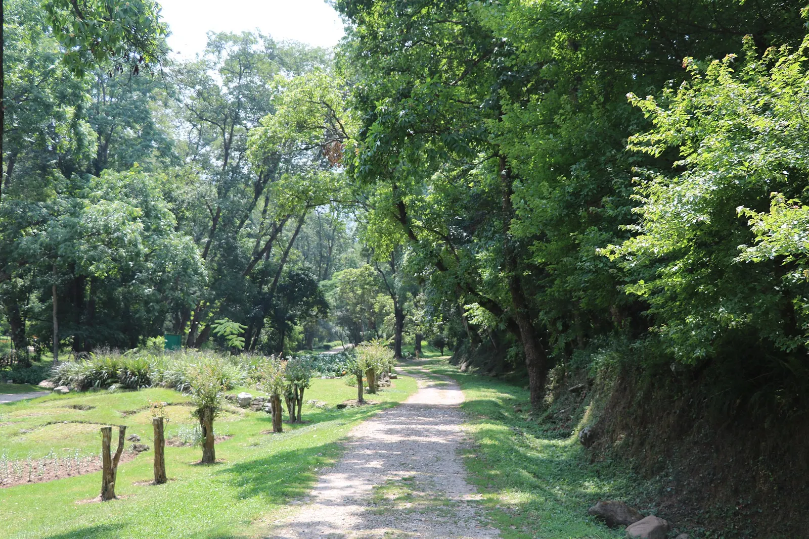
Town or village · 1,520 m
A green corner at the foot of Phulchowki, south-east of Patan, with Nepal's national botanical garden, sacred springs and forest walks.
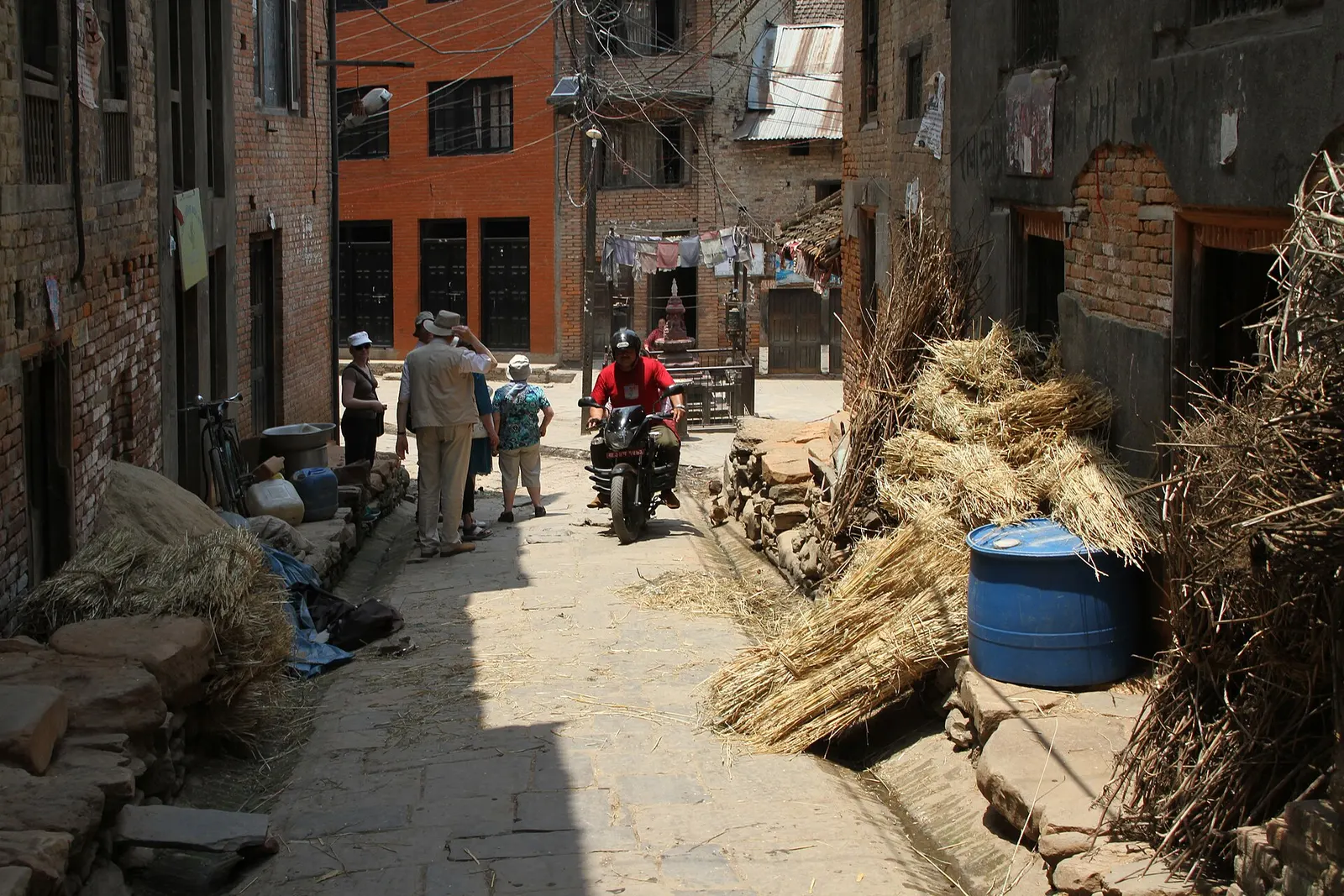
Town or village · 1,340 m
A traditional Newar farming village south of Patan, known for mustard-oil pressing and the Rudrayani temple.
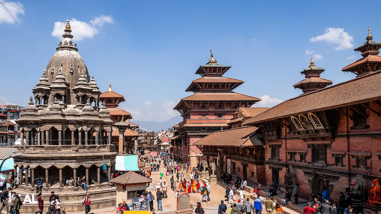
Temple, monastery or heritage site · 1,330 m
The former royal square of Patan, a row of Malla-era temples facing a palace that now houses one of Nepal's finest museums.
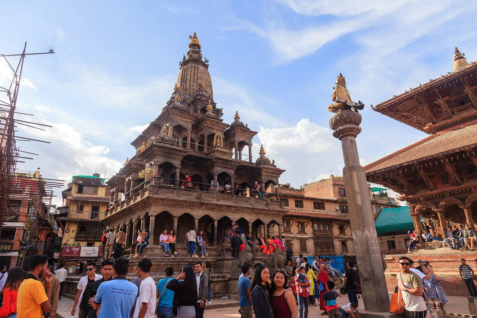
Town or village · 1,350 m
The old Newar city of Lalitpur across the Bagmati from Kathmandu, known for its Durbar Square, Buddhist courtyards and metalwork.
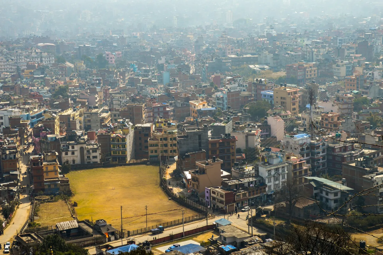
Town or village · 1,400 m
Nepal's capital, a sprawling valley city wrapped around a medieval Newar core, with major Hindu and Buddhist sites and the country's main airport.
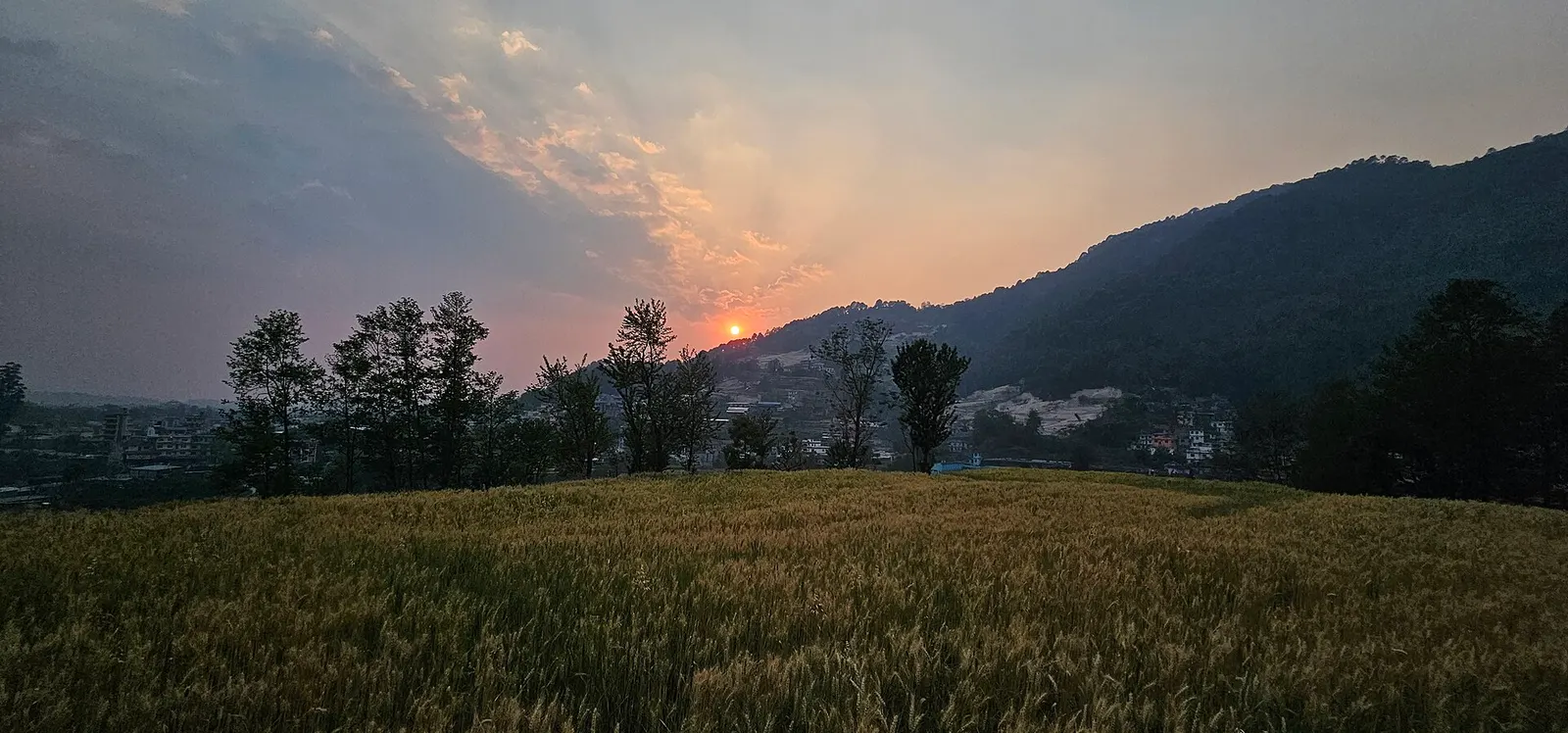
National park or conservation area · 2,732 m
Forested hills on Kathmandu's northern rim, protecting the valley's water sources, with day hikes to Shivapuri Peak, Nagi Gumba and Jamacho.