Skip to content

Langtang Valleyक्याङजिन गुम्बा

Kyanjin Gompa

The high village and monastery at the head of the Langtang Valley trek, base for day climbs to Kyanjin Ri and Tserko Ri.

Plan a trip here
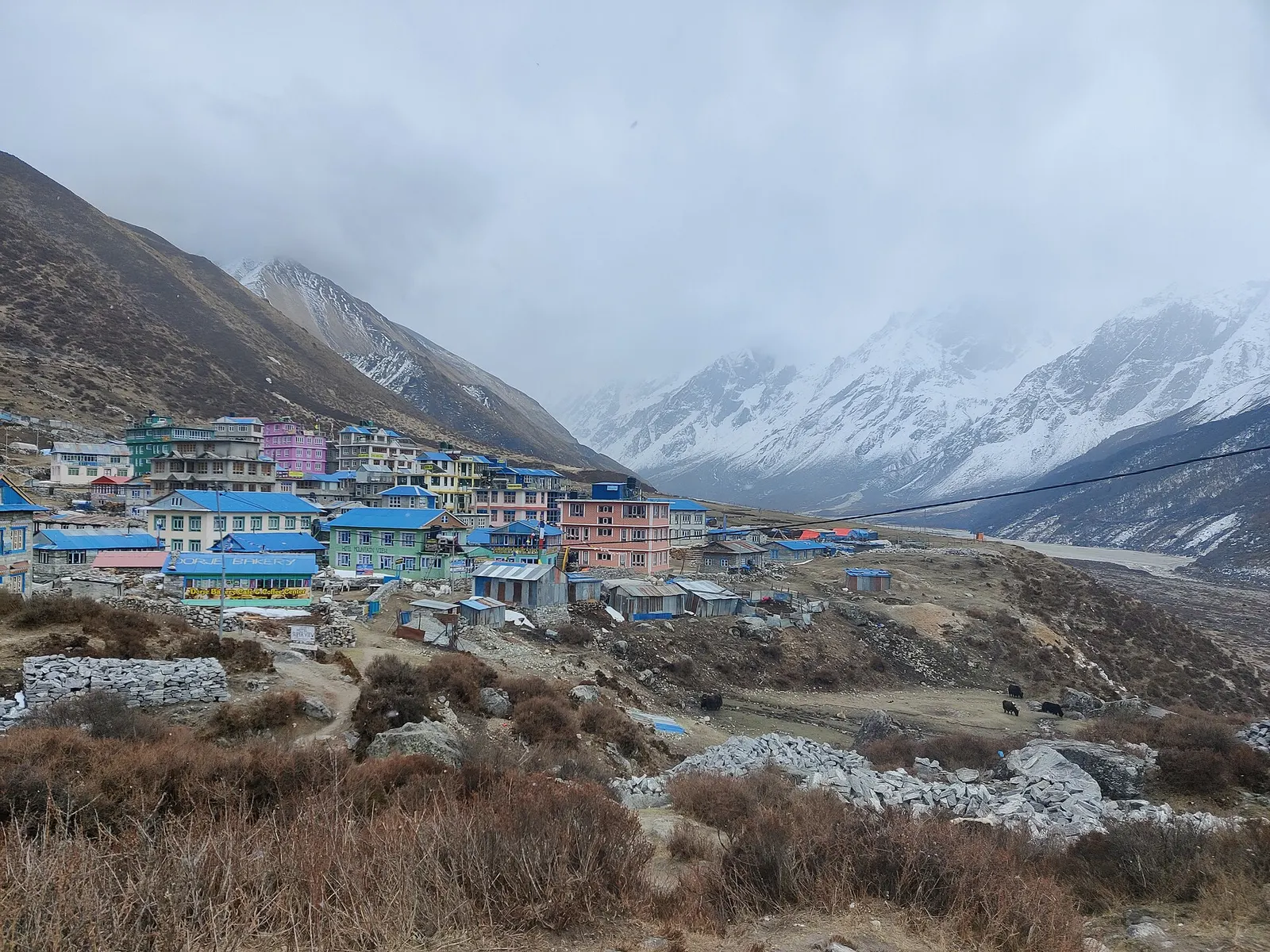
Lodges and houses of Kyanjin Gompa on the valley floor below snow peaks.
Photo: Pustam.EGR (CC BY 4.0)
Altitude
3,870 m*
Best months
Mar-May, Oct-Nov
Type
Trek stop
District
Rasuwa, Bagmati
Permit
Permit required

Higher seasonal exposure: altitude (All year), landslides (Jun-Sep), cold (Dec-Feb).

Why go

Kyanjin Gompa is the last main settlement of the Langtang Valley, at about 3,870 m, where the valley widens into a basin ringed by glaciers and peaks. For most trekkers it is the turning point of the Langtang Valley trek, reached on day three or four from Syabrubesi. It takes its name from the small Buddhist monastery above the lodges.

Most people spend at least one extra night here to acclimatise and explore. Popular day hikes go up Kyanjin Ri (about 4,400 m and 4,773 m tops) for a close view of Langtang Lirung and its glaciers, or the longer climb to Tserko Ri (about 4,984 m). Others walk up the valley towards Langshisa pastures, or visit the cheese factory. Yala Peak (about 5,500 m) is a trekking peak climbed from here with a permit and guide.

History and culture

The gompa is a centuries-old village monastery of the Langtangpa community, destroyed in the 2015 earthquake and rebuilt by early 2018. The cheese factory, started with Swiss support in the 1950s, was also rebuilt after the earthquake and still produces yak and chauri cheese. Prayer wheels turned by small streams and micro-hydro power are a feature of the village. Visitors should treat the monastery as an active religious site.

Things to do in Kyanjin Gompa

  • Kyanjin Ri

    A steep 3-5 hour return hike to the viewpoints at about 4,400 m and 4,773 m; start early before cloud.

  • Tserko Ri

    A full-day climb to about 4,984 m with a wide panorama; only after acclimatising.

  • Langshisa pastures

    A long day's walk up the valley towards the Langtang glacier, past yak pastures.

Weather and the best time to visit Kyanjin Gompa

Weather in Kyanjin Gompa

Forecast for 3,870 m. Conditions change fast in the mountains.

Weather data: MET Norway, licensed CC BY 4.0. A forecast, not a guarantee.

Best time to visit

Mar-May, Oct-Nov

  1. Jan
  2. Feb
  3. Good month: Mar
  4. Good month: Apr
  5. Good month: May
  6. Jun
  7. Jul
  8. Aug
  9. Sep
  10. Good month: Oct
  11. Good month: Nov
  12. Dec
Autumn (Sep-Nov)
Clear, stable weather and the busiest season.
Winter (Dec-Feb)
Very cold with snow; some lodges close, and high hikes may not be possible.
Spring (Mar-May)
Good trekking; snow lingers on the higher viewpoints early in the season.
Monsoon (Jun-Aug)
Cloud and rain most days; trails are quiet and views are rare.

Where to stay

TeahousesLodges

Several lodges with simple rooms and dining halls; nights are cold, so a warm sleeping bag is useful.

No partner stays are listed here yet. List a property.

Getting there

Kyanjin Gompa is reached only on foot, about 3 days up the Langtang Valley from Syabrubesi.

Nearest hub: Syabrubesi

  • trekLangtang village to Kyanjin Gompa, about 2-3 hours and roughly 440 m of climbing.
  • trekSyabrubesi to Kyanjin Gompa in about 3 days via Lama Hotel and Langtang village.

Getting to Kyanjin Gompa, by mode

Nearest hub: Syabrubesi. Times are typical ranges, not schedules, and vary with roadworks, weather and the season.

  • On footfrom Langtang villageabout 2-2.75 h2-3 h from Langtang village, about 440 m of gain

    On foot only, 3 km on from the rebuilt Langtang village. Wikivoyage gives 2 to 2.75 hours for the stage.

    When to set off: A short morning stage; arrive by midday and keep the afternoon for a slow acclimatisation walk.

    Langtang Valley Trek (Wikivoyage)

Where people go next

Mount Everest 8,848.86Kangchenjunga 8,586Dhaulagiri I 8,167Manaslu 8,163Annapurna I 8,091Kyanjin GompaKathmandu
Boundary: Government of Nepal, Survey Department (2020). Peak data: Wikidata.

Permits and fees

Permit required

Kyanjin Gompa is inside Langtang National Park; the park entry permit is checked here. Trekking peaks such as Yala Peak need a separate climbing permit. Check whether a TIMS card is currently required.

  • Langtang National Park entry permit: Checked at Kyanjin Gompa and other points.
  • Trekking peak permit: Only for climbing peaks such as Yala Peak.

Verify before travel: permit rules and fees change. Checked 2026-10-06 against Langtang (Wikipedia).

On the trail

On the Langtang Valley trek.

Previous stop:
Langtang village
Next stop:
Kyanjin Ri or Tserko Ri (day hikes), then return down the valley
A typical day:
A short 2-3 hour walk from Langtang village with about 440 m of height gain, usually followed by a rest and acclimatisation day.

Risks and conditions

Seasonal risks around Kyanjin Gompa

What this place is typically exposed to, and when. These are seasonal patterns, not a report on conditions now.

  • Altitudehigh in a typical yearAll year

    General information, not medical advice: this is high ground where altitude illness is a real risk. Gain height slowly, build in an acclimatisation day, learn the symptoms of headache with nausea, breathlessness or unsteady walking, and go down if they get worse. See a doctor before travelling and carry insurance that covers helicopter evacuation. Kyanjin Gompa is the usual acclimatisation stop before the Kyanjin Ri and Tserko Ri day hikes, which reach roughly 4,770 m and 4,980 m.

    Altitude sickness (Wikivoyage)

  • Landslideshigh in a typical yearJun-Sep

    The Langtang gorge is geologically active and the main trail was rerouted after the 2015 earthquake; monsoon rain loosens the slopes, so slide-prone sections are best crossed without lingering.

    Langtang Valley Trek (Wikivoyage)

  • Coldhigh in a typical yearDec-Feb

    December to February brings hard frost and deep cold at this height, with short days and lightly heated lodges; a four-season sleeping bag and down layers are normal kit.

    Langtang National Park (Wikivoyage)

  • Avalanche terrainmoderate in a typical yearDec-Apr

    The upper Langtang valley is geologically active and avalanche paths reach the valley floor; the 2015 earthquake-triggered avalanche that destroyed Langtang village is the extreme case, while snow-loaded slopes in winter and early spring are the ordinary seasonal concern.

    Langtang Valley Trek (Wikivoyage)

  • Snowmoderate in a typical yearDec-Mar

    Snow covers the valley head and the Kyanjin Ri and Tserko Ri hikes in winter and early spring, when the high walks may not be practical.

    Langtang National Park (Wikivoyage)

Check current conditions before you travel

Roads, trails, passes and flights change with the weather and with roadworks, and nothing on this page describes conditions today. Before you set off, check the Department of Hydrology and Meteorology for weather and flood warnings, the Nepal Disaster Risk Reduction Portal for incidents, and the local authority, police or your licensed operator for road, trail and flight status.

Practical tips

  • At about 3,870 m, altitude sickness is a real risk; spend an extra night before climbing higher and descend if symptoms worsen (general information, not medical advice).
  • Charging, hot showers and Wi-Fi usually cost extra; mobile signal is variable.
  • There are no ATMs; bring enough cash from Kathmandu.
  • Remove shoes and keep quiet inside the gompa; ask before photographing.

Treks through Kyanjin Gompa

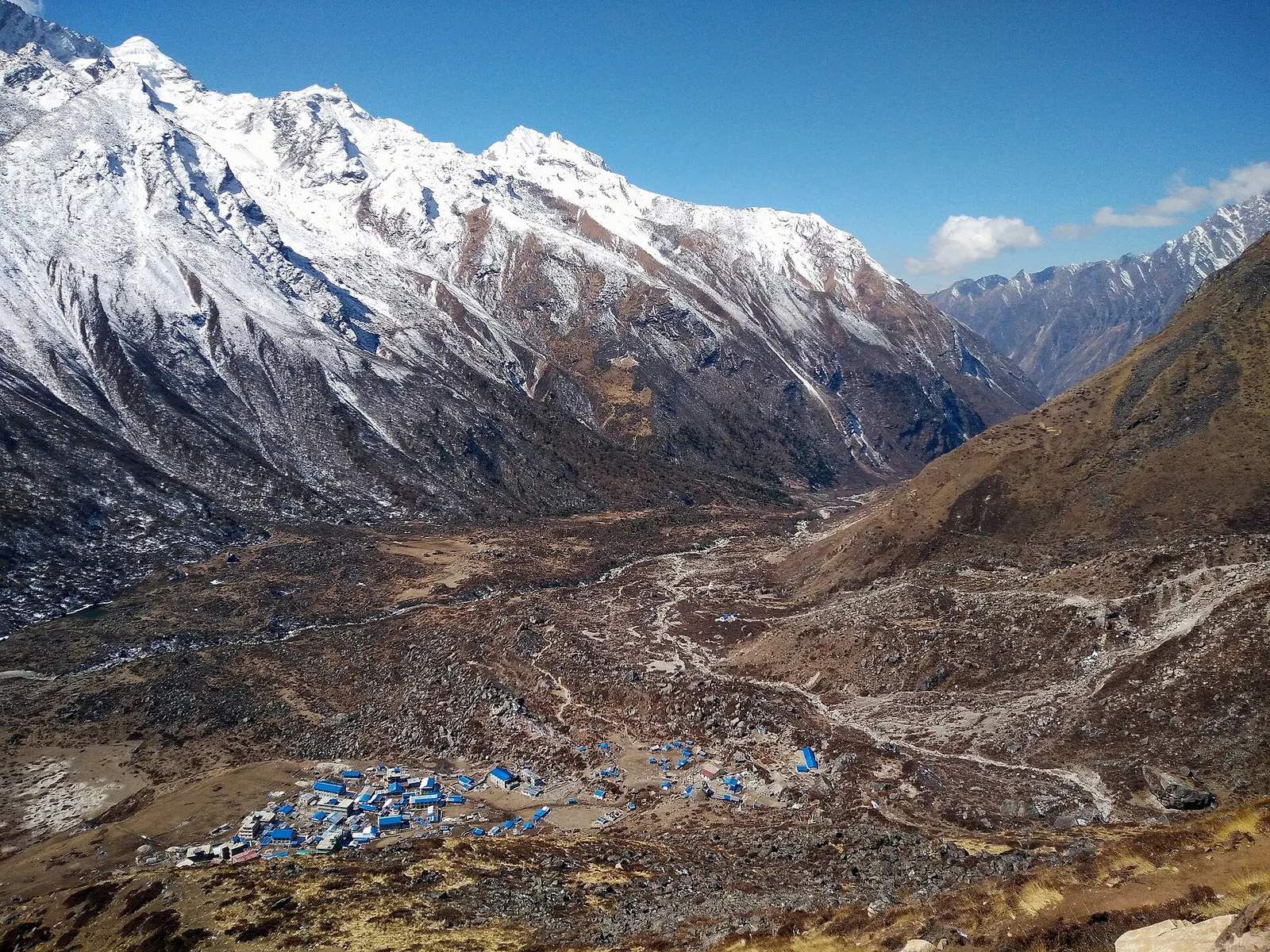
Kyanjin Gompa's blue-roofed buildings on the wide valley floor, seen from Kyanjin Ri beneath snowy Langtang peaks

A road-accessed teahouse trek from Syabrubesi up the Langtang Khola to Kyanjin Gompa (about 3,870 m), with an optional climb to Tserko Ri for close views of Langtang Lirung. Check road access after the August 2026 floods.

Days
8 days
Maximum altitude
4,984 m
Difficulty
Moderate
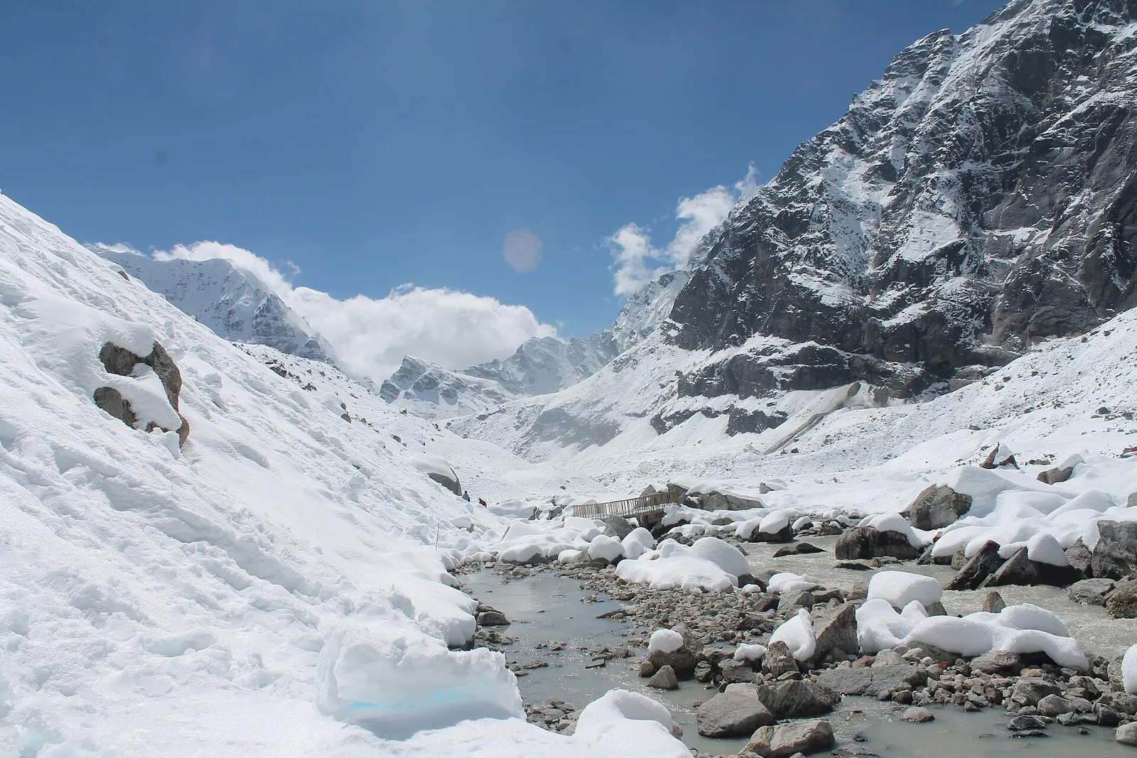
A snow-covered valley with a glacial stream and small footbridge at Makalu Base Camp, below steep rock walls.

A network of high and mid-hill routes about 1,700 km long that crosses Nepal from Kanchenjunga in the east to Humla and the far west, usually walked in sections, or as a through-trek of about four to five months.

Days
160 days
Maximum altitude
6,160 m
Difficulty
Challenging
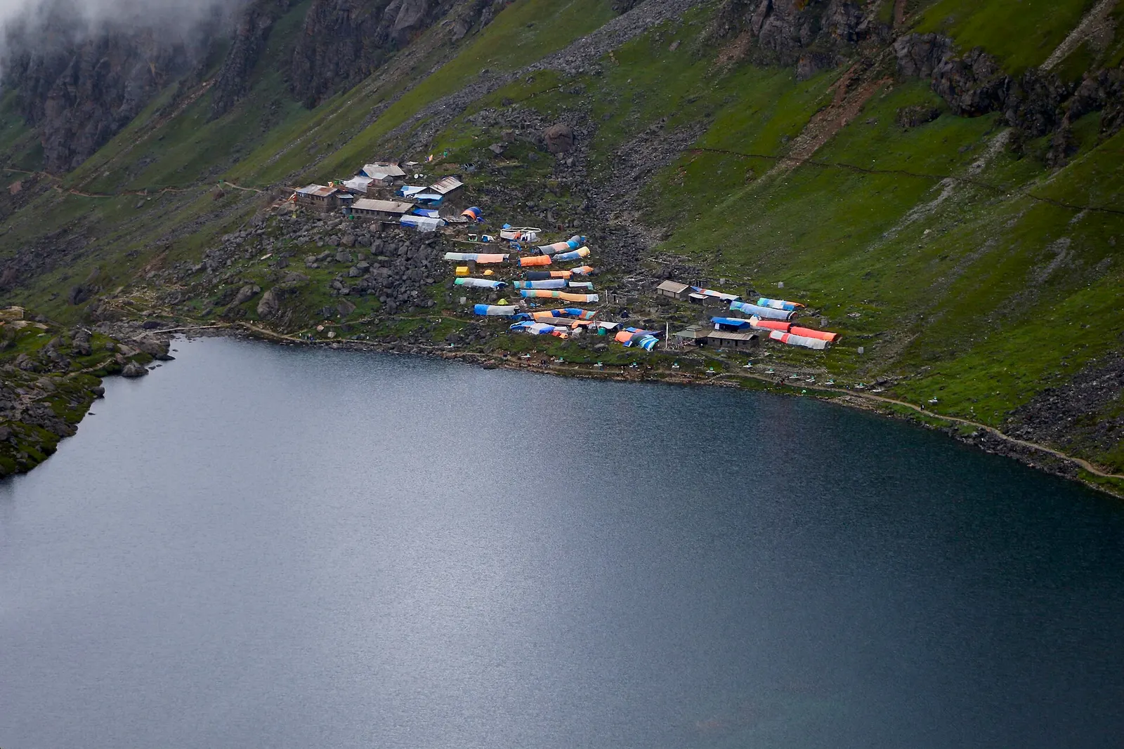
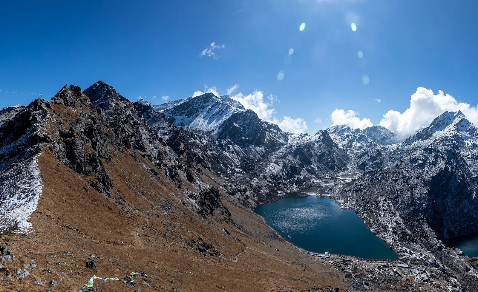
The dark water of Gosaikunda lake with a cluster of lodges with coloured roofs on the green slope above its shore.

The Langtang Valley to Kyanjin Gompa combined with the climb to the sacred Gosaikunda lakes (about 4,380 m) via Thulo Syabru and Sing Gompa, finishing at Dhunche. Check road access after the August 2026 floods.

Days
11 days
Maximum altitude
4,984 m
Difficulty
Strenuous

Questions about Kyanjin Gompa

How high is Kyanjin Gompa?

About 3,870 m. Altitude sickness is possible, so plan an acclimatisation day.

How long does it take to reach Kyanjin Gompa?

About 3 days on foot from Syabrubesi, with the last stage from Langtang village taking 2-3 hours.

What is there to do at Kyanjin Gompa?

Visit the monastery and cheese factory, and hike to Kyanjin Ri or Tserko Ri for mountain views.

More in Langtang Valley

All of Langtang Valley

Trek stop · 2,470 m

Lama Hotel

A cluster of lodges in the forest of the Langtang Khola gorge, the usual first night of the Langtang trek.

Trek stop · 3,430 m

Langtang village

The rebuilt main village of the upper Langtang Valley, near the site of the 2015 avalanche.

Nearby

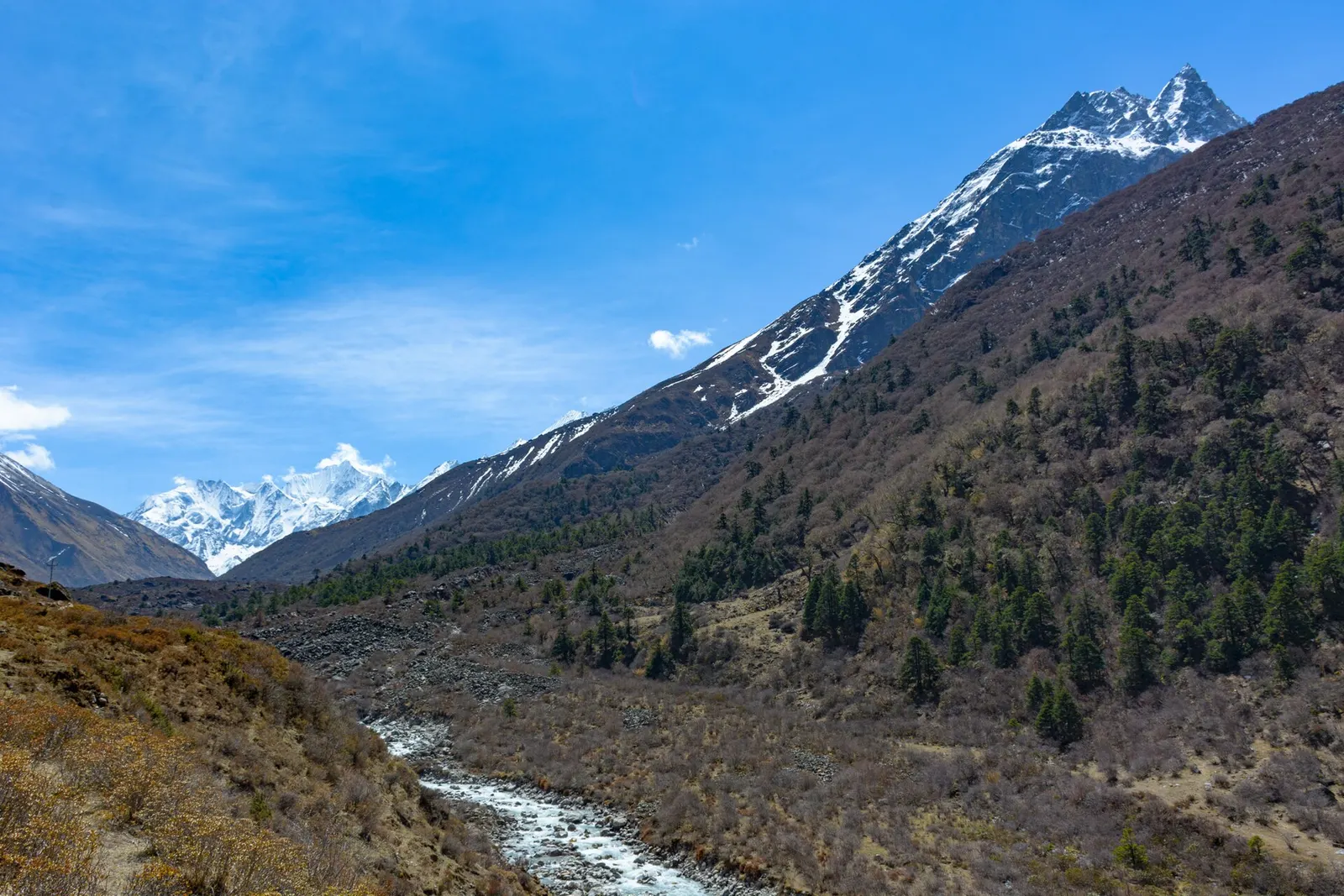
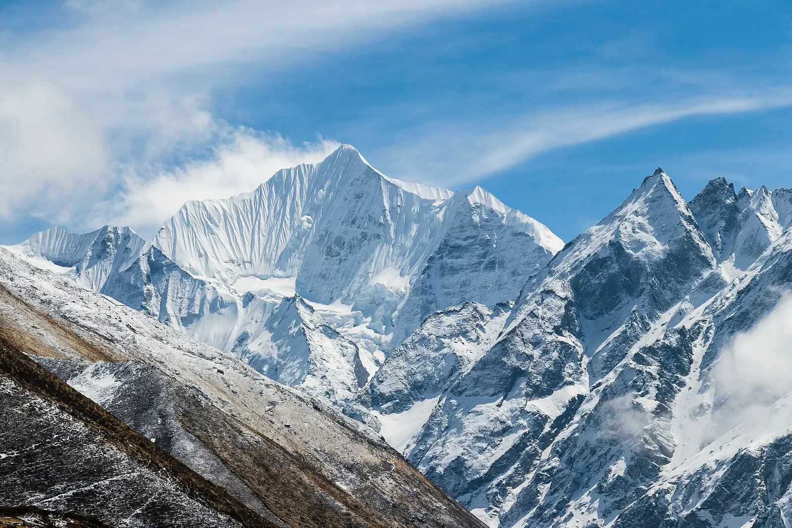
Gangchempo and Dorje Lhakpa rising above the upper Langtang Valley.

Valley or region

Langtang Valley

A glacier valley north of Kathmandu, walked from Syabrubesi through forest and yak pastures to Kyanjin Gompa under Langtang Lirung.

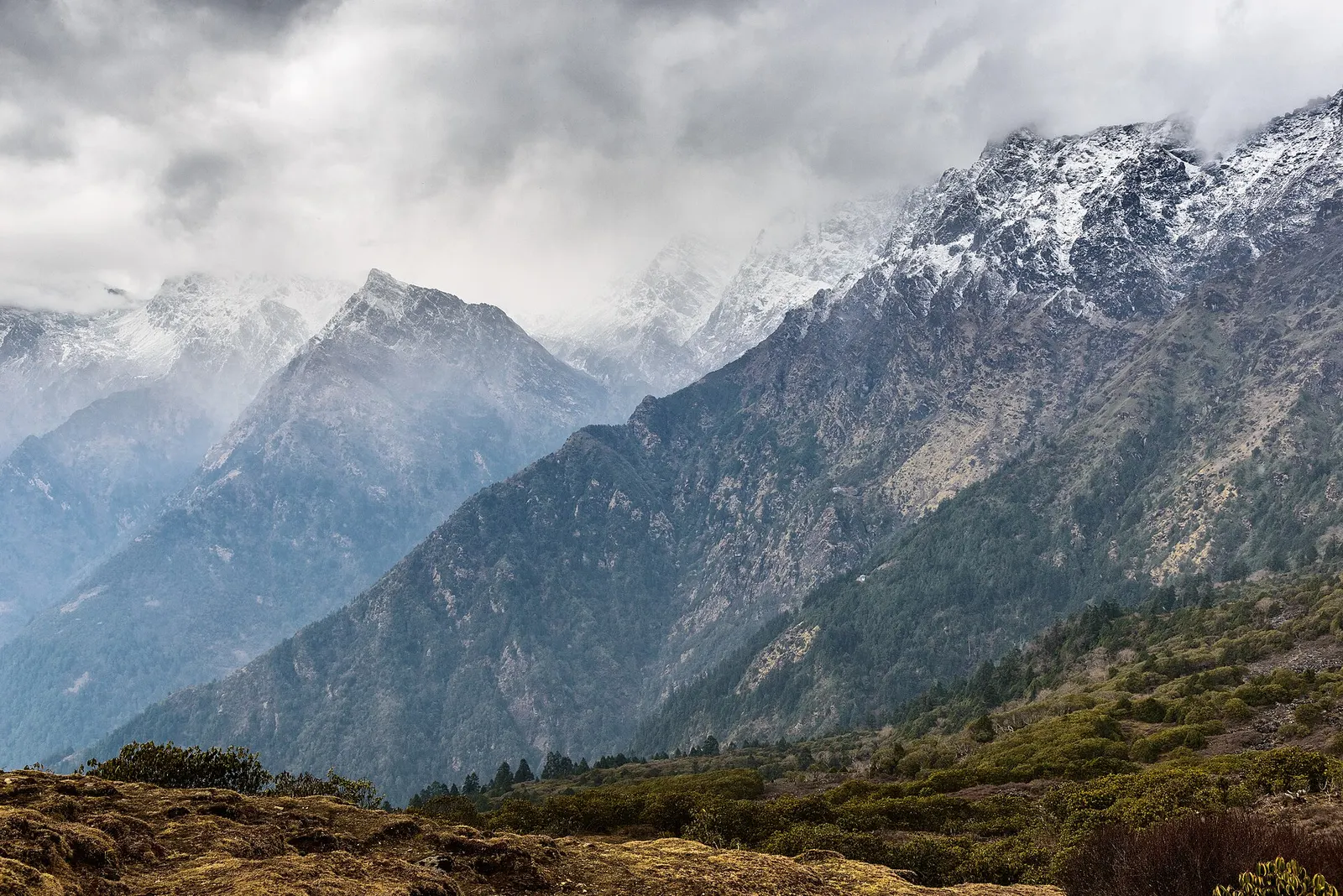
Snow-covered Himalayan peaks above the forested slopes of Langtang National Park.

Valley or region

Langtang

The trekking region closest to Kathmandu: glacier valleys, holy lakes and Hyolmo villages across Rasuwa, Nuwakot and Sindhupalchok.

The blue Gosaikunda lake in a rocky alpine basin.

Lake · 4,380 m

Gosaikunda

A sacred alpine lake at about 4,380 m in Langtang National Park, a Hindu and Buddhist pilgrimage site and a high point between Langtang and Helambu.

Editorial draft: facts are being checked against the sources below. Last checked 2026-10-06. Sources: Langtang (Wikipedia), Kyanjin Gompa village photo with location (Wikimedia Commons)