
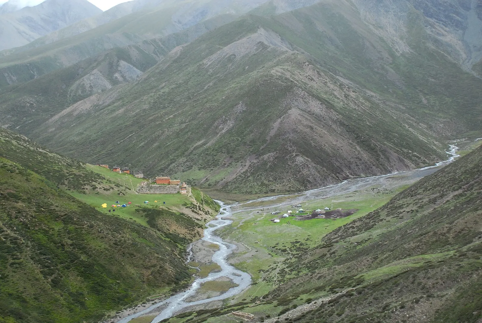
A long restricted-area camping trek from Juphal past Phoksundo Lake, over the Kang La to Shey Gompa and Saldang, and back via the Jeng La and the Tarap valley.
- Days
- 20 days
- Maximum altitude
- 5,350 m
- Difficulty
- Challenging
Far West, Rara Lake
A week-long walk in remote Karnali from Jumla through the Sinja valley to Rara Lake, Nepal's largest lake, at about 2,990 m in Rara National Park, usually ending with a flight from Talcha.
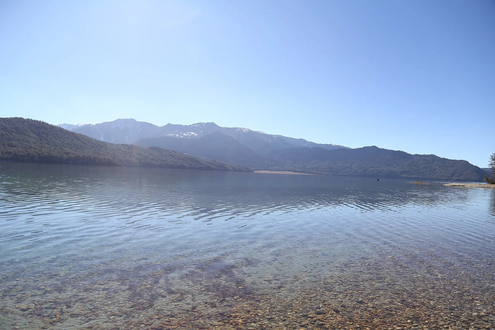
Rara Lake lies at about 2,990 m in Mugu district in north-west Nepal, a deep lake of about 10.8 square km ringed by blue pine, spruce and juniper and protected as Rara National Park. The classic way to reach it on foot starts in Jumla, the highland bazaar town of Karnali, and walks north for five days over forested ridges and through the Sinja valley, once the seat of the medieval Khas kingdom.
The trek stays between about 2,500 and 3,600 m, so altitude is a smaller concern than on the high Himalayan routes, but this is one of the least developed parts of Nepal. Lodges are scarce between Jumla and the lake, many groups camp or stay in village homes, and flights in and out depend on the weather.
Most trekkers finish by walking from the lake to Talcha airstrip, a couple of hours away, and flying to Nepalgunj. Others return to Jumla on foot by a different route, or use the road that now reaches the area.
Why it is rated moderate
For a short visit, fly from Nepalgunj to Talcha both ways and spend two or three nights at the lake. This misses the villages of the Jumla and Sinja valleys but needs only about four days from Nepalgunj.
A road now links the Rara area with Jumla and the Karnali Highway from Surkhet. Overland trips by jeep take about two days each way from Nepalgunj or Surkhet on rough mountain roads, and are mainly used by domestic tourists.
Instead of flying out from Talcha, you can walk back to Jumla by a more easterly route in about three or four days: south from the lake to Pina, over the Ghurchi Lagna pass (about 3,450 m) and down through Bumra, then over the Danphe Lagna ridge (about 3,690 m in operator sources) to Jumla. This turns the trek into a loop of about 10 to 12 walking days.
Sleeping altitude for each night. The dashed lines at 3,000 m and 4,000 m mark heights where altitude illness becomes more common. General information only, not medical advice.
Hover, tap or use the arrow keys to see each day. Shaded columns are acclimatisation days.
| Day | Overnight | Sleeping altitude | High point |
|---|---|---|---|
| 1 | Jumla | 2,514 m | - |
| 2 | Chere Chaur | 3,055 m | - |
| 3 | Chalachaur | 2,980 m | 3,580 m |
| 4 | Sinja | 2,490 m | - |
| 5 | Ghorasain | 3,050 m | - |
| 6 | Rara Lake | 3,010 m | - |
| 7 | Rara Lake | 3,010 m | 3,630 m |
| 8 | Nepalgunj | 150 m | - |
Most trekkers fly from Kathmandu to Nepalgunj the day before, then take a short morning flight into the Tila valley. Spend the afternoon walking around the bazaar and the Chandannath temple and buying last supplies.
Hotel or guesthouse in JumlaAbout Jumla
A steady climb out of the valley through pine forest and farmland to Chere Chaur, an open meadow on the ridge above Jumla. It is a short first day that helps with the gain in altitude.
Camp or simple lodge at Chere Chaur
The trail crosses a high ridge with views north towards the snow peaks, then drops through forest and pasture to the meadows of Chalachaur. Water and shelter are limited on the ridge, so carry enough for the day.
Camp or homestay at Chalachaurhigh point Jaljala ridge, 3,580 m
Down to the Sinja Khola, a broad farmed valley that was the centre of the Khas Malla kingdom in medieval times. Look for old temples, stone pillars and the remains associated with the old capital near the river.
Camp or homestay in the Sinja valley
A long climb north out of the valley beside a stream and up through forest towards the ridges south of the lake. Camp sites are simple pasture clearings.
Camp near Ghorasain
Over the last ridge, with the first views of the lake from the Chuchemara side, then down through pine forest to the shore. Accommodation at the lake is limited, so book through your agency in season.
Lodge, park guesthouse or camp at Rara LakeAbout Rara Lake
Walk part or all of the trail around the lake, about a day's walk, and climb to Murma Top above the southern shore for the classic view over the water. Waterbirds rest on the lake in spring and autumn.
Lodge, park guesthouse or camp at Rara LakeAbout Rara Lakehigh point Murma Top, 3,630 m
An early walk past the park check post to Talcha airstrip, then a short flight to Nepalgunj in the plains. Flights are weather-dependent, so keep at least one spare day; the alternative is to walk back to Jumla in 3-4 days.
Hotel in Nepalgunj
Stages, times and altitudes vary by operator, weather and pace. Partner agencies confirm the exact plan.
Approximate route drawn through the overnight stops.
Rara National Park entry permitNational park
Needed to enter the park around the lake; paid at the park entry point or arranged by your agency. Check the current fee with the Department of National Parks and Wildlife Conservation.
TIMS cardTrekker card
Check whether a TIMS card is currently required; it is issued through registered trekking agencies.
Verify before travel: permit rules and fees change. Checked 2026-10-06 against Department of National Parks and Wildlife Conservation. Guide rule: Nepal bans solo trekking for tourists, guides mandatory from April 1 (The National, March 2023).
Nepal trekking permits explainedBest months: Mar-May, Sep-Nov
Nearest hub: Nepalgunj. Times are typical ranges, not schedules, and vary with roadworks, weather and the season.
By airfrom Nepalgunjabout 0.5-0.8 hJumlaoften delayed or cancelled by weather
Several carriers fly small aircraft Nepalgunj to Jumla, one of the remote western airstrips Nepalgunj exists to serve; the leg is weather-dependent.
When to set off: Morning flights; most travellers fly Kathmandu to Nepalgunj first and stay overnight.
By busfrom Surkhet (Birendranagar)about 12-30 hLocal buses
Local buses work the Karnali Highway from Surkhet, slowly and over a largely unpaved alignment. Timings vary widely and monsoon landslides are a recurring problem.
When to set off: Buses leave Surkhet early; many passengers break the journey overnight.
By car or jeepfrom Surkhet (Birendranagar)about 12-30 h
The Karnali Highway runs north from the Terai through Surkhet to Jumla and beyond. Only a short stretch was blacktopped as of 2010 and most of it is an unpaved mountain track, so the drive is slow; sources put the Surkhet-Jumla run anywhere between about half a day and more than two days. It is the route to Jumla for anyone not flying.
Road: Largely unpaved mountain highway with long exposed sections; a 4WD or a rugged bus is needed, and monsoon landslides are a recurring problem.
When to set off: Vehicles leave Surkhet early in the morning, and the drive is commonly broken overnight on the way.
By motorbikefrom Surkhet (Birendranagar)Experienced riders only
Ridden by some, but the Karnali Highway is mostly unpaved, remote and exposed, with little fuel or help between towns.
Road: Largely unpaved mountain highway, remote and exposed, with long gaps between fuel stops.
Typical seasonal exposure along the route, merged from the stops that have a place page. Seasonal patterns only, never conditions today.
Landslideshigh in a typical yearJun-Sep
The overland approach by the Karnali Highway through Surkhet and Jumla is largely unpaved and monsoon landslides have closed it for long periods in the past.
Recorded for Rara Lake, Jumla. Karnali Highway, Wikipedia
Otherhigh in a typical yearJun-Sep
June to August is the monsoon and makes the trek to Rara hard going, with cloud grounding the small aircraft to Talcha and Jumla.
Recorded for Rara Lake, Jumla. Rara National Park, Wikipedia
Snowhigh in a typical yearDec-Mar
The lake sits at about 2,990 m in a park that reaches 4,039 m; snow in midwinter can block the trails and the rough road in from Jumla.
Recorded for Rara Lake, Jumla. Rara National Park, Wikipedia
Coldhigh in a typical yearDec-Feb
Midwinter at the lake is severely cold and facilities around the shore are minimal at that time of year.
Recorded for Rara Lake, Jumla. Rara National Park, Wikipedia
Road blockageshigh in a typical yearJun-Sep
Treat the Surkhet-Jumla road as unreliable from June to September and plan generous margins; the dry months are far more dependable.
Recorded for Jumla. Karnali Highway, Wikipedia
Check current conditions before you travel
Nothing here describes the Rara Lake Trek today. Trail, road, pass and flight conditions change with the weather and with roadworks. Check the Department of Hydrology and Meteorology, the Nepal Disaster Risk Reduction Portal and the local authority or your licensed operator before and during the trek.
Forecasts for start (Jumla, 2,514 m), highest overnight (Chere Chaur, 3,055 m), end (Nepalgunj, 150 m). Mountain weather changes fast; check again on the day.
Forecast for 2,514 m. Conditions change fast in the mountains.
Weather data: MET Norway, licensed CC BY 4.0. A forecast, not a guarantee.
Forecast for 3,055 m. Conditions change fast in the mountains.
Weather data: MET Norway, licensed CC BY 4.0. A forecast, not a guarantee.
Forecast for 150 m. Conditions change fast in the mountains.
Weather data: MET Norway, licensed CC BY 4.0. A forecast, not a guarantee.
Another plateau park in the far west, with grassland and forest at about 3,000 m and the hermitage of Khaptad Baba; often combined with a Karnali trip by road.
From Simikot in Humla, a restricted-area trek through Tibetan-heritage villages on the border, reached by air from Nepalgunj.
To the east of Jumla, the high Dolpo valleys and Shey Phoksundo Lake are linked to Rara on the Great Himalaya Trail.
Rara and Jumla form one section of Nepal's coast-to-coast Himalayan route between Dolpo and Humla.
About 8 days from Nepalgunj on the Jumla to Rara route with a flight out from Talcha, or 10 to 12 days if you walk back to Jumla. Flying in and out of Talcha alone takes about four days.
It is moderate: days of about 4-6 hours on forest trails up to about 3,600 m. The main challenges are remoteness, simple or camping accommodation and weather-dependent flights.
Yes, a Rara National Park entry permit. Rara is not a restricted area, but check whether a TIMS card is currently required.
Under the rule in force since April 2023, foreign trekkers in national parks are required to go with a licensed guide. Check the current rule before you go.
September to November and March to May. Winter is cold with snow, and the monsoon brings rain and flight delays.
The lake is at about 2,990 m. The highest point on the usual trek is Murma Top viewpoint at about 3,630 m.
A long restricted-area camping trek from Juphal past Phoksundo Lake, over the Kang La to Shey Gompa and Saldang, and back via the Jeng La and the Tarap valley.
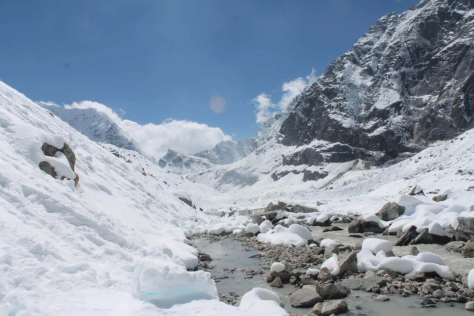
A network of high and mid-hill routes about 1,700 km long that crosses Nepal from Kanchenjunga in the east to Humla and the far west, usually walked in sections, or as a through-trek of about four to five months.
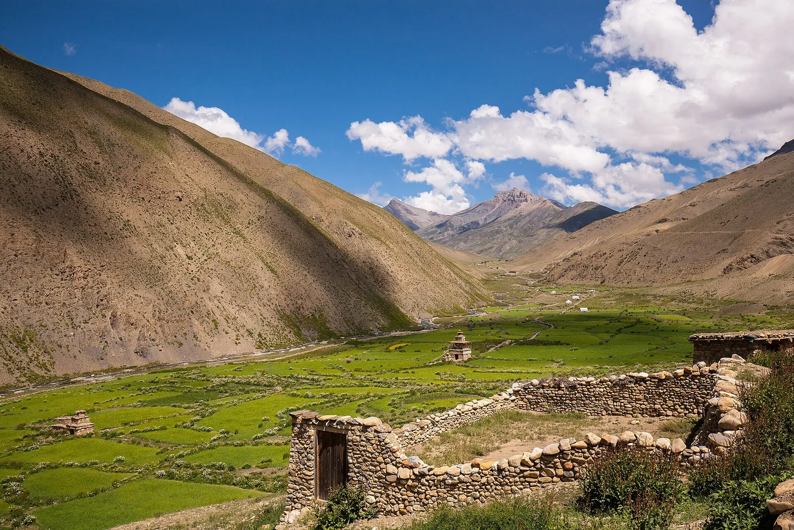
A remote camping traverse from Juphal up the Tarap valley to Dho Tarap, east over high passes to Chharka Bhot, and over the Sangda La into Mustang to finish at Jomsom.
Rara Lake · 8 days