Lake
Syarpu Lake
The largest lake in Rukum West, a calm stretch of water among terraced hills near Musikot.
मुसिकोट
The hill headquarters of Rukum West, a base for Syarpu Lake and the villages of the Sani Bheri valley.
This is Musikot, headquarters of Rukum West district in Karnali Province; there is also a Musikot municipality in Gulmi district.
Higher seasonal exposure: landslides (Jun-Sep).
Musikot is the headquarters of Rukum West district in Karnali Province. The town, also known locally as Khalanga, spreads over a hillside with views across the surrounding ridges, and it is the main market and administrative centre of the district, with offices, schools, a hospital, shops and simple hotels.
For visitors Musikot is chiefly a base. Syarpu Lake, the best-known natural sight in the district, lies a short distance away, and roads and trails lead to villages in the valleys of the Sani Bheri and its tributaries. The surrounding hills are a mix of terraced fields, forest and pasture, and on clear days the higher ranges to the north come into view.
Rukum West sees very few foreign travellers, and a stay in Musikot gives an unvarnished view of a hill district that has changed quickly with the arrival of roads and new local government. Facilities are simple but adequate for a night or two.
Rukum was one of the heartlands of the Maoist insurgency that began in 1996, and the district saw heavy fighting during the conflict that ended in 2006. Under the 2015 constitution the former Rukum district was divided in two: the western part, with Musikot as its headquarters, joined Karnali Province, while Rukum East became part of Lumbini Province.
The population includes Magar, Chhetri, Thakuri, Brahmin and Dalit communities, and Magar culture is strong in parts of the district. The 2023 Jajarkot earthquake also caused damage and casualties in Rukum West, and reconstruction has continued since. Dashain and Tihar are the main festivals, alongside local fairs at hilltop shrines.
Syarpu Lake
Make a short trip to the district's best-known lake.
Town walk
Walk the bazaar and hillside lanes for views over the district.
Village trips
Visit villages in the surrounding valleys with local transport or on foot.
Conditions change fast in the mountains.
Weather data: MET Norway, licensed CC BY 4.0. A forecast, not a guarantee.
Mar-Apr, Oct-Nov
A few simple hotels and lodges in the town.
No partner stays are listed here yet. List a property.
Travel by road from the Terai via Surkhet or via the roads through Salyan and Rukum, or fly to Chaurjahari and continue by road.
Nearest hub: Nepalgunj
None needed
No permit is needed to visit Musikot or Rukum West.
Verify before travel: permit rules and fees change. Checked 2026-10-08 against Nepal Tourism Board.
What this place is typically exposed to, and when. These are seasonal patterns, not a report on conditions now.
Landslideshigh in a typical yearJun-Sep
Hill roads to Musikot are prone to landslides and blockages in the monsoon.
Coldlow in a typical yearDec-Feb
Winter nights in the hills are cold and lodgings are often unheated.
Check current conditions before you travel
Roads, trails, passes and flights change with the weather and with roadworks, and nothing on this page describes conditions today. Before you set off, check the Department of Hydrology and Meteorology for weather and flood warnings, the Nepal Disaster Risk Reduction Portal for incidents, and the local authority, police or your licensed operator for road, trail and flight status.
It is the headquarters of Rukum West district in Karnali Province.
Syarpu Lake is the main sight, along with village walks in the surrounding hills.
No. The old Rukum district was split; Rukum West is in Karnali Province and Rukum East in Lumbini Province.
Lake
The largest lake in Rukum West, a calm stretch of water among terraced hills near Musikot.
Town or village
A market town on a broad terrace above the Bheri river in Rukum West, with an airstrip and a regional hospital.
Valley or region
The deep valley of the Bheri river through Jajarkot, with terraced hills, river villages and suspension bridges.
National park or conservation area · 2,850 m
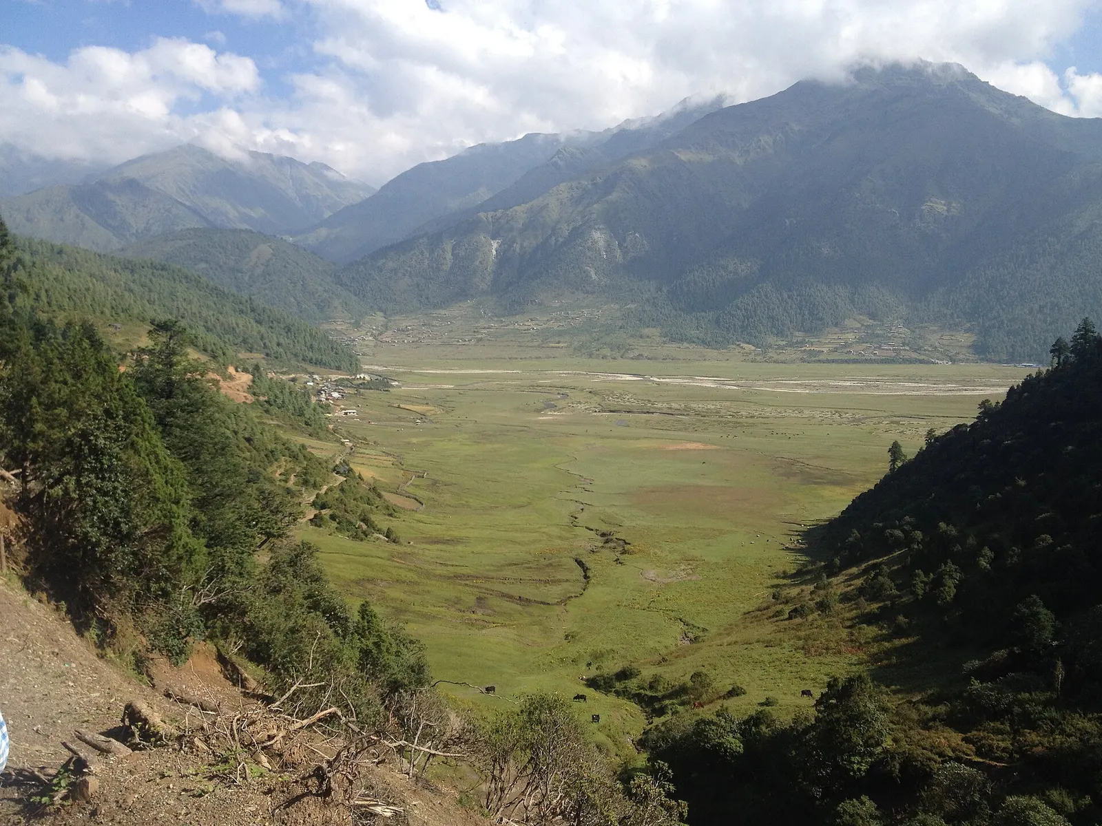
Nepal's only hunting reserve, a remote high country of alpine meadows, fir forest and blue sheep below the Dhaulagiri and Putha Himal ranges.