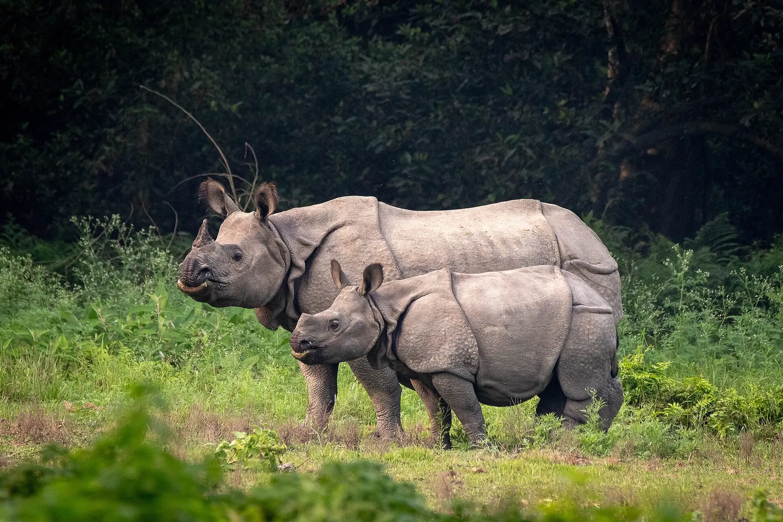
National park or conservation area
Chitwan National Park
Nepal's first national park, in the inner Terai lowlands: sal forest, tall grassland and rivers home to one-horned rhinoceros, tigers and gharials.
Chitwan & Teraiभरतपुर
Chitwan's main city and transport hub on the Narayani river, the usual gateway for Chitwan National Park and the central Terai.
This is Bharatpur, the headquarters city of Chitwan district in Nepal, not Bharatpur in Rajasthan, India.
Bharatpur is the headquarters of Chitwan district and one of the largest cities in Nepal, spread across the Inner Terai plain on the east bank of the Narayani river. Its older commercial heart, Narayangadh, sits at the river crossing where the roads from Kathmandu, Pokhara and the Terai meet, which makes the city the main transport hub for central Nepal.
Most travellers pass through on the way to Sauraha and Chitwan National Park, or on journeys between Kathmandu, Pokhara, Lumbini and the east. Bharatpur Airport has scheduled flights from Kathmandu, and frequent buses connect the city with most of the country. It is a practical place to break a journey, change money, find hospitals and other services, and arrange onward transport.
Within and around the city, visitors walk the riverbank at Narayangadh, visit local temples, and make short trips to the Bis Hazari wetlands, to the confluence pilgrimage site at Devghat upstream, and to the old hill fort of Upardanggadhi in the hills to the east.
The Chitwan valley was long forested and malarial, home mainly to Tharu, Bote, Darai and Kumal communities. From the 1950s, malaria eradication and government resettlement programmes brought large numbers of settlers from the hills, and the plain was cleared for farming. Bharatpur and Narayangadh grew rapidly as market towns on the new highways.
Today the city is a mix of communities from across Nepal and a centre for trade, agriculture, education and health care in the central region. It became a metropolitan city in the 2010s local government restructuring. The Narayani, formed upstream by the Kali Gandaki and Trishuli rivers, is important for both trade and religious bathing, and its banks are busy during festivals such as Maghe Sankranti.
Narayani riverside
Walk the riverbank at Narayangadh in the late afternoon to watch river life and the sunset over the Narayani.
Day trip to Bis Hazari Tal
Join a guided trip to the lakes in the buffer zone forest for birds and wildlife.
Visit Devghat
Take a short trip upstream to the pilgrimage site at the confluence of the Kali Gandaki and Trishuli.
Base for Chitwan
Use the city as an alternative base to Sauraha for safaris in the national park.
Conditions change fast in the mountains.
Weather data: MET Norway, licensed CC BY 4.0. A forecast, not a guarantee.
Oct-Mar
A wide range of city hotels and guesthouses, plus resorts on the outskirts; many safari visitors stay in Sauraha instead.
No partner stays are listed here yet. List a property.
Bharatpur is reached by domestic flight from Kathmandu or by bus via Mugling, and lies on the East-West Highway for connections to the rest of the Terai.
Nearest hub: Kathmandu
None needed
No permit is needed for Bharatpur itself. Visits to Chitwan National Park require a park entry permit.
Verify before travel: permit rules and fees change. Checked 2026-10-08 against Department of National Parks and Wildlife Conservation.
What this place is typically exposed to, and when. These are seasonal patterns, not a report on conditions now.
Landslidesmoderate in a typical yearJun-Sep
Monsoon landslides can block the hill roads between Mugling and the Chitwan valley, delaying travel to and from Kathmandu and Pokhara.
Heatmoderate in a typical yearApr-Jun
Pre-monsoon temperatures on the Inner Terai plain are very high; plan outdoor activity for early morning.
Otherlow in a typical yearDec-Jan
Dense winter fog is common on the plain and can delay flights and early road journeys.
Check current conditions before you travel
Roads, trails, passes and flights change with the weather and with roadworks, and nothing on this page describes conditions today. Before you set off, check the Department of Hydrology and Meteorology for weather and flood warnings, the Nepal Disaster Risk Reduction Portal for incidents, and the local authority, police or your licensed operator for road, trail and flight status.
No. Bharatpur is the district headquarters city; Sauraha is a tourist village further east at the edge of Chitwan National Park.
Yes. Scheduled flights link Kathmandu with Bharatpur Airport, from where you continue by road to Sauraha or other park entry points.
It can be, especially for the western parts of the park, but most safari visitors stay in Sauraha.
October to March, before the heat of April and May and the monsoon rains.
National park or conservation area
Nepal's first national park, in the inner Terai lowlands: sal forest, tall grassland and rivers home to one-horned rhinoceros, tigers and gharials.
Lake
A chain of forest-fringed oxbow lakes and marshes in the Chitwan National Park buffer zone, known for birdwatching and wildlife.
Town or village
A highway bazaar on the Trishuli river, known for its fried river fish and as a stop on rafting trips and the road to Dhading Besi.
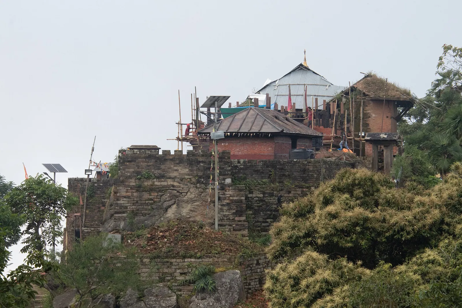
Temple, monastery or heritage site · 1,135 m
The hill town where the Shah kings ruled the Gorkha Kingdom and Prithvi Narayan Shah began the unification of Nepal.