Town or village · 1,700 m
Sirubari
A Gurung hill village in Syangja that pioneered village homestay tourism in Nepal, with views of the Annapurnas and Dhaulagiri.
Pokhara & Annapurnaपुतलीबजार
Syangja's district headquarters on the Siddhartha Highway, a base for Sirubari, Alamdevi and the southern Panchase hills.
This is the headquarters town of Syangja district on the Siddhartha Highway.
Putalibazar is the headquarters of Syangja district, spread along the Siddhartha Highway in a valley of terraced hills south-west of Pokhara. It is a working bazaar rather than a tourist town, with markets, offices, schools and transport links for the surrounding villages, and it gives travellers a view of everyday life in Nepal's middle hills.
The town is a practical base for exploring Syangja. Side roads lead to Gurung and Magar villages, including the homestay village of Sirubari, and to the Alamdevi shrine. To the north, trails climb towards the Panchase ridge, and on clear days the Annapurna and Dhaulagiri ranges are visible from the higher ground around the town.
For those driving between Pokhara and Palpa, Butwal or Lumbini, Putalibazar makes a convenient place to break the journey, and it is close enough to Pokhara for a day trip. Further south along the highway, Waling is the district's other main bazaar.
The name Putalibazar is usually explained as butterfly market, from putali, the Nepali word for butterfly, although the origin of the name is told in different ways locally. Syangja was formerly divided among small hill principalities, including Bhirkot, Nuwakot and Garhun, before the unification of Nepal.
Magar, Gurung, Brahmin-Chhetri, Newar and Dalit communities live in and around the town, and Syangja has a long record of Gurkha service. Dashain, Tihar and Teej are the main festivals, and the town's market days bring farmers in from the surrounding hills to sell vegetables, grain and livestock and to buy household goods.
Bazaar walk
Walk through the main market and side streets on a market day.
Village trips
Use the town as a base for Sirubari, Alamdevi and other villages.
Hill walks
Climb the ridges around town for views of the Himalaya in clear weather.
Conditions change fast in the mountains.
Weather data: MET Norway, licensed CC BY 4.0. A forecast, not a guarantee.
Feb-Apr, Oct-Dec
A handful of simple hotels and guesthouses aimed at business and domestic travellers.
No partner stays are listed here yet. List a property.
Putalibazar is on the Siddhartha Highway south of Pokhara, reached by any bus heading towards Butwal.
Nearest hub: Pokhara
None needed
No permit is needed to visit Putalibazar.
Verify before travel: permit rules and fees change. Checked 2026-10-08 against Nepal Tourism Board.
What this place is typically exposed to, and when. These are seasonal patterns, not a report on conditions now.
Landslidesmoderate in a typical yearJun-Sep
The Siddhartha Highway through Syangja crosses steep slopes and is often blocked by landslides in the monsoon.
Floodinglow in a typical yearJul-Aug
Streams and rivers along the highway can rise quickly after heavy rain.
Check current conditions before you travel
Roads, trails, passes and flights change with the weather and with roadworks, and nothing on this page describes conditions today. Before you set off, check the Department of Hydrology and Meteorology for weather and flood warnings, the Nepal Disaster Risk Reduction Portal for incidents, and the local authority, police or your licensed operator for road, trail and flight status.
On the Siddhartha Highway in Syangja district, south-west of Pokhara.
It is usually explained as butterfly market, from the Nepali word putali.
It is mainly a base for Sirubari, Alamdevi and nearby hills, and a convenient stop on the road to Palpa.
Town or village · 1,700 m
A Gurung hill village in Syangja that pioneered village homestay tourism in Nepal, with views of the Annapurnas and Dhaulagiri.
Temple, monastery or heritage site
A forest shrine in Syangja sacred to Magar communities and linked in tradition to the ancestors of the Shah kings.
Viewpoint · 2,517 m
A forested hill at about 2,500 m west of Phewa Tal, with a temple and pond on top and views of the Annapurna and Dhaulagiri ranges.
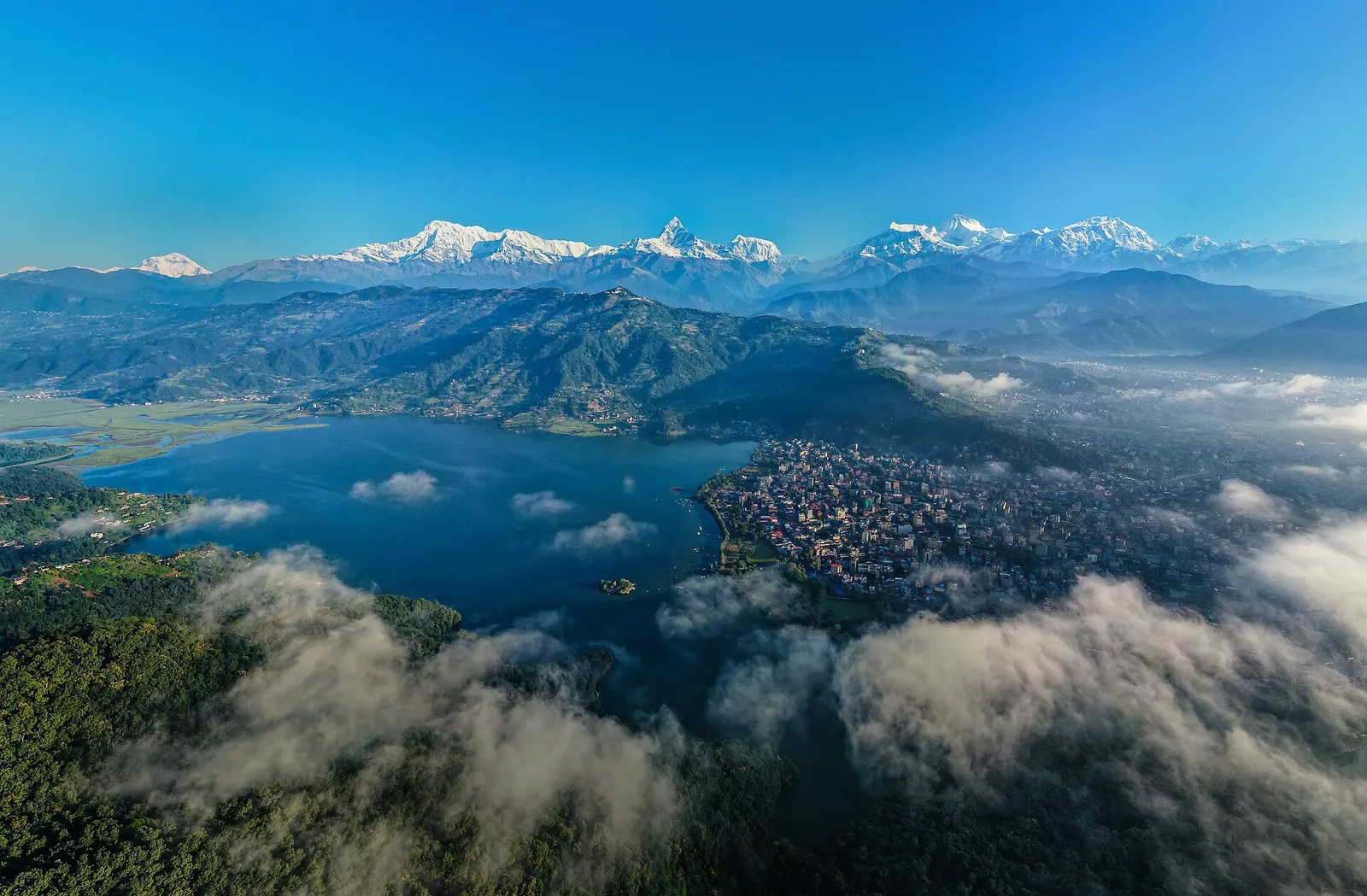
Town or village · 822 m
A lakeside city about 200 km west of Kathmandu, with the Annapurna range and Machhapuchhre rising close to the north.