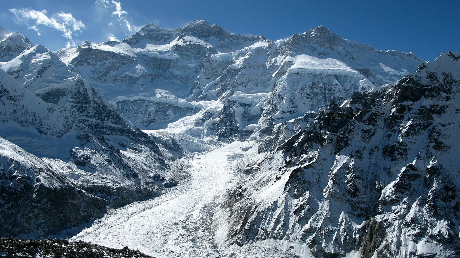
A three-week restricted-area trek in far eastern Nepal that reaches both Kanchenjunga base camps, Pangpema in the north and Oktang in the south, joined by the Sele La pass crossing.
- Days
- 20 days
- Maximum altitude
- 5,143 m
- Difficulty
- Challenging
Kanchenjunga Regionकाम्बाचेन
A seasonal herding settlement at about 4,100 m facing the north side of Jannu, the second acclimatisation stop on the way to Pangpema.
Kambachen is a small summer settlement of stone huts and lodges at about 4,100 m in the upper Ghunsa valley, on the route from Ghunsa to Lhonak and Pangpema in the Kanchenjunga region. It lies in a wide, flat-bottomed valley where yaks graze in summer, and the north face of Jannu (Kumbhakarna, 7,710 m) rises steeply to the south.
Most itineraries spend two nights here to acclimatise before going above 4,500 m. The day from Ghunsa crosses a long, active landslide slope where rockfall is a hazard, so trekkers usually start early. Lodges are very basic, and the settlement is largely empty in winter.
Kambachen is used mainly by herders from Ghunsa, who bring yaks and other livestock up to the high pastures in summer. Blue sheep are often seen on the slopes nearby, and the area lies within the range of snow leopard, which researchers have studied in the upper Kanchenjunga valleys.
Acclimatisation walk
Climb the slopes behind the settlement for a few hundred metres for wider views of Jannu and the glaciers, then return to sleep.
Watch for wildlife
Look for blue sheep on the grassy slopes early and late in the day.
Forecast for 4,100 m. Conditions change fast in the mountains.
Weather data: MET Norway, licensed CC BY 4.0. A forecast, not a guarantee.
Mar-May, Oct-Nov
A few basic seasonal lodges.
No partner stays are listed here yet. List a property.
Reached only on foot, one day above Ghunsa.
Nearest hub: Taplejung (Phungling)
Restricted-area permit
This part of the Kanchenjunga region is a restricted area. You need a restricted area permit, issued only through a registered trekking agency for trekkers with a licensed guide, and a Kanchenjunga Conservation Area entry permit.
Verify before travel: permit rules and fees change. Checked 2026-10-06 against Department of Immigration, Nepal: trekking route and permit fee.
On the Kanchenjunga Circuit (North and South Base Camps).
A three-week restricted-area trek in far eastern Nepal that reaches both Kanchenjunga base camps, Pangpema in the north and Oktang in the south, joined by the Sele La pass crossing.
About 4,050-4,100 m. Most itineraries spend two nights here to acclimatise.
The north face of Jannu, also called Kumbhakarna, dominates the view to the south.
About 5-7 hours, including a landslide section where rockfall is a risk.
Viewpoint · 5,140 m
The North Base Camp of Kanchenjunga, a grassy shelf at about 5,140 m facing the mountain's north-west face.
Trek stop · 3,475 m
The main village of the upper Kanchenjunga valleys, a Tibetan-heritage settlement and the hub of the North Base Camp trek.
Trek stop · 4,785 m
A high, sandy plain at about 4,785 m beside the Kanchenjunga glacier, the last overnight stop before Pangpema.
Town or village · 1,820 m
The hill town headquarters of Taplejung district, where Kanchenjunga treks start and finish.
Trek stop · 3,865 m
A small lodge stop at about 3,870 m in the Simbuwa Khola valley, base for Ramche and the Oktang viewpoint on the southern side of Kanchenjunga.
Trek stop · 2,080 m
A farming village of several communities at the southern gateway to Kanchenjunga, and the restricted-area checkpoint for the Oktang route.
National park or conservation area
A remote trekking region below the world's third-highest mountain, with Limbu and Sherpa villages, two base camps and a restricted-area permit.